⚡ The answer in 30 seconds
- Wise use means keeping a wetland's ecological character intact while people continue to use it sustainably, rather than closing it off. It has been the convention's core concept since its adoption in 1971.
- With Lake Inawashiro listed in July 2025, Japan has 54 Ramsar sites covering 166,134 ha. They include not only tidal flats, lakes and marshes but also rice paddies, coral reefs and underground river systems.
- At Yatsu and Fujimae, citizen movements stopped reclamation and led to listing; at Kabukuri-numa and the Maruyama River, migratory birds and storks came back alongside farming.
- The world has lost 22% of its wetlands since 1970 and is still losing 0.52% a year. Listing is not a finish line but the start of a promise to keep using wetlands wisely.
Under the Ramsar Convention, 'wise use' means that people keep drawing on a wetland's benefits sustainably while its ecological character is maintained. The words 'nature conservation' tend to conjure up a fence and a no-entry sign, but the idea this convention has championed since its adoption in 1971 is the exact opposite. Wetlands are places people and wildlife share through fishing, farming, tourism and as stopovers for migratory birds. Using them wisely is itself conservation. That is the thinking behind wise use.
As of July 2025, Japan has 54 Ramsar sites totaling 166,134 hectares. From the Kushiro marsh in Hokkaido to the coral reefs of Okinawa, they include many waterscapes inseparable from human life: small tidal flats left inside cities, rice paddies flooded in winter, brackish lakes where clam fishing is a livelihood, and farmland where more than 10,000 cranes spend the winter.
This article first pins down the convention's definition and listing criteria, then reads how wise use has actually played out at Japanese sites such as Yatsu, Fujimae, Kabukuri-numa, the Maruyama River, Lake Shinji and Izumi, through numbers and events. It also covers the global wetland crisis described in Global Wetland Outlook 2025, the challenges that continue after listing, and what each of us can do.
What you'll learn in this article
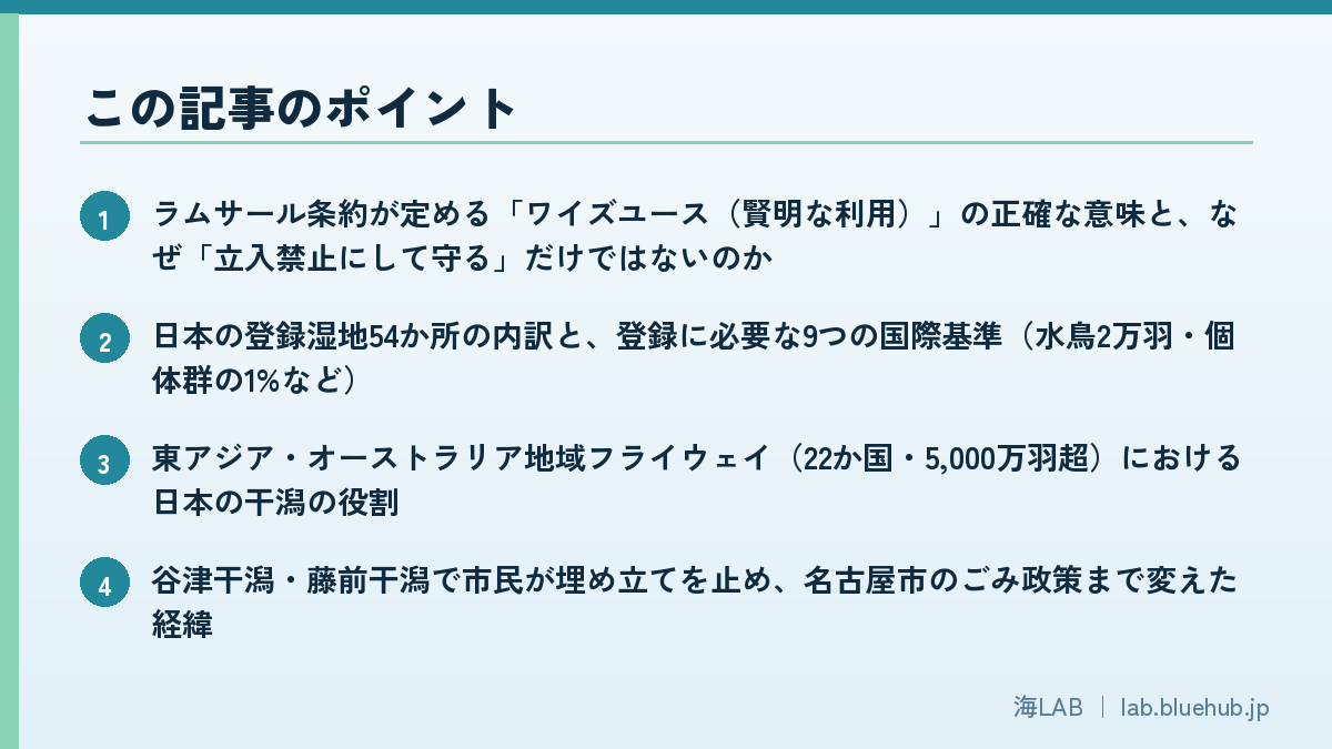
- What 'wise use' actually means under the Ramsar Convention, and why it is not simply fencing wetlands off
- The makeup of Japan's 54 Ramsar sites and the nine international criteria for listing (20,000 waterbirds, 1% of a population, and more)
- The role of Japan's tidal flats in the East Asian–Australasian Flyway (22 countries, over 50 million birds)
- How citizens stopped reclamation at Yatsu and Fujimae tidal flats and even changed Nagoya's waste policy
- Models that reconcile farming and wetlands: winter-flooded paddies at Kabukuri-numa and storks in Toyooka
- Why wetlands keep degrading after listing, and where the world's wetlands stand according to Global Wetland Outlook 2025
- Visit, eat, record: everyday ways each of us can practice wise use
What Is Wise Use? The Convention's Core Idea of Protecting and Using at Once
The Ramsar Convention, formally the Convention on Wetlands of International Importance especially as Waterfowl Habitat, was adopted on 2 February 1971 in Ramsar, Iran, and is one of the world's oldest multilateral environmental treaties. Japan acceded in 1980 and listed the Kushiro marsh as its first site that same year. There are now more than 170 contracting parties, and as of 2025 the list holds over 2,500 sites covering roughly 2.6 million square kilometers.
The convention's three pillars
Japan's Ministry of the Environment describes the convention's role as three pillars. First, conservation: listing wetlands of international importance and maintaining their ecological character. Second, wise use: using all wetlands within a country wisely, whether listed or not. Third, international cooperation: working together on species and water systems that cross borders, such as migratory birds. That the second pillar presupposes 'use' is what sets this convention apart from other conservation frameworks.
How the definition of wise use was settled
The term 'wise use' already appears in Article 3 of the convention text, but its substance was fleshed out step by step at the Conferences of the Contracting Parties (COP). The first definition was adopted at COP3 in 1987, and the current form was settled at COP9 in 2005. In essence, it reads as follows.
Wise use of wetlands is the maintenance of their ecological character, achieved through the implementation of ecosystem approaches, within the context of sustainable development.
― Summary of the definition in Ramsar COP9 Resolution IX.1 Annex A (2005)
The key here is 'ecological character'. It refers to the combination of ecosystem components, processes and benefits (ecosystem services) that characterize a wetland, and the convention calls human-induced damage to it a 'change in ecological character', which contracting parties are obliged to report. In other words, wise use is a promise that fishing, farming and tourism may continue, but only within limits that do not destroy the foundation of what makes that wetland what it is.
Why 'use' was written into the convention
In 1971 the convention's main concern was wetlands as waterbird habitat. But those who drafted it knew that most wetlands were already being used by local communities as fisheries, pasture and water sources. A system that excluded human use entirely would give the local people who matter most no reason to cooperate. So alongside conserving listed sites, Article 3 asks contracting parties to plan for 'the wise use, as far as possible, of wetlands in their territory'. Half a century on, this idea overlaps with modern concepts such as ecosystem services, sustainable development and nature-based solutions, and at COP15, held in Victoria Falls, Zimbabwe, in July 2025, how to value wetlands and secure funding for restoration was a central topic.
Wetland benefits go far beyond bird habitat. They temporarily store floodwater to soften damage downstream, let plants and microbes absorb nitrogen and phosphorus flowing from upstream to purify water, lock away large amounts of carbon as peat and mangrove, and serve as spawning and nursery grounds for fish and shellfish. These functions return to communities as fisheries, agriculture, disaster protection and tourism. Wise use means keeping that circuit of returns running without breaking it.
Wise use in one line
- Not 'don't use it' but 'use it in ways that don't destroy it'
- It covers all wetlands in a country, not just listed sites
- The yardstick is whether ecological character is being maintained
- When local people keep receiving the wetland's benefits, they have a reason to conserve it
For the convention's overall history and the definition of a wetland, see our companion article What Are Ramsar Wetlands? Japan's 54 Sites and the Power of Wetlands to Purify Water and Nurture Life. This article focuses on the 'how to use' side.
Japan's 54 Ramsar Sites: A Diverse 166,134 Hectares of Waterscapes
On 15 July 2025, Lake Inawashiro in Fukushima Prefecture (10,960 ha) was added, bringing Japan's Ramsar sites to 54 with a combined area of 166,134 hectares. Listings have followed the rhythm of the Conferences of the Parties: nine sites at COP11 in 2012, four at COP12 in 2015, two at COP13 in 2018, one at COP14 in 2022, and one at COP15 in 2025.
How broad 'wetland' is: from tidal flats to paddies and coral reefs
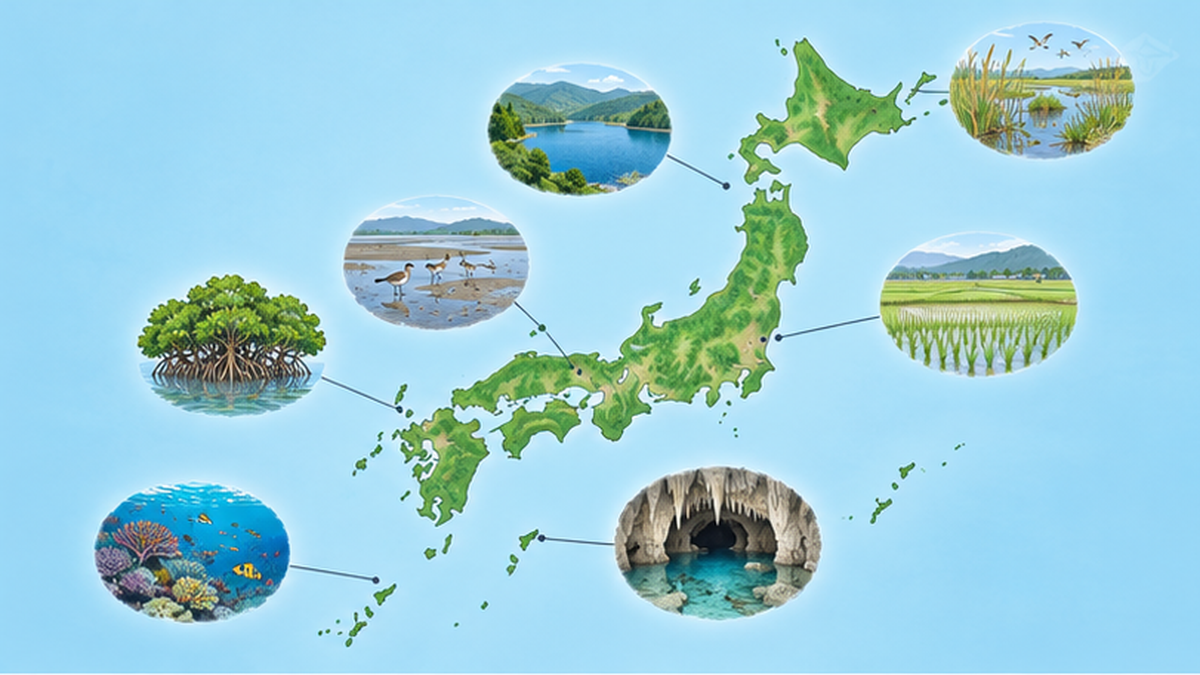
The convention's wetlands are not only marshes and lakes. Marine areas no deeper than six meters at low tide are included, so tidal flats, seagrass beds and coral reefs qualify. Artificial water bodies are not excluded either, so rice paddies and irrigation ponds can be listed. Roughly grouped, Japan's 54 sites look like this.
| Wetland type | Representative sites | Features and links to people |
|---|---|---|
| Marshes and peatlands | Kushiro marsh (Hokkaido), Oze (Gunma, Fukushima, Niigata) | Red-crowned crane breeding grounds, boardwalk tourism |
| Lakes and brackish lagoons | Lake Biwa (Shiga), Lake Shinji and Nakaumi (Shimane, Tottori), Lake Inawashiro (Fukushima) | Traditional fisheries, clam fishing, drinking-water sources |
| Estuarine and bay tidal flats | Yatsu-higata (Chiba), Fujimae-higata (Aichi), Higashiyoka-higata (Saga), Manko (Okinawa) | Shorebird stopovers, environmental education near cities |
| Wetlands including paddies and farmland | Kabukuri-numa and surrounding rice paddies (Miyagi), Lower Maruyama River and surrounding rice paddies (Hyogo), Izumi wintering habitat of cranes (Kagoshima) | Winter-flooded paddies, stork-friendly farming, wintering cranes |
| Mangroves and coral reefs | Manko (Okinawa), Kerama Islands marine area (Okinawa) | Ecotourism, diving |
| Underground river systems | Akiyoshidai underground river system (Yamaguchi) | Endemic cave-dwelling species |
The nine international criteria for listing
Not every wetland can be listed. The convention sets nine criteria for identifying 'wetlands of international importance'. Japan adds domestic conditions: long-term conservation must be guaranteed under national law (such as the Natural Parks Act or the Wildlife Protection and Management Act), and local governments and residents must support the listing. That requirement of local consent is precisely why Japan's Ramsar sites cannot be separated from wise use.
The listing process itself is built around wise use. The Ministry of the Environment assesses a candidate's scientific value, consensus is built with local governments, fishers, farmers and residents, legal protection such as a wildlife protection area or a national or quasi-national park is put in place, and the site is then notified to the convention secretariat in time for a COP. Lake Inawashiro, listed in 2025, was recognized not only as Japan's fourth-largest lake but as an important wintering ground for swans and ducks, and for the long-standing bond between conservation of the lake and the livelihoods of a basin that draws on it for irrigation and drinking water. In places like the Kerama Islands marine area in Okinawa, where diving and tourism are the main industries, the tourism operators who 'use' the reefs are themselves the stewards of conservation rules.
| Criterion | Content (summary) | Examples in Japan |
|---|---|---|
| Criterion 1 | A representative, rare or unique wetland type for its biogeographic region | Kushiro marsh, Akiyoshidai underground river system |
| Criterion 2 | Supports threatened species or communities | Izumi (hooded and white-naped cranes), Maruyama River (oriental stork) |
| Criterion 3 | Supports species important for the region's biodiversity | Endemic fish of Lake Biwa, corals of the Kerama Islands |
| Criterion 4 | Supports critical life-cycle stages (migration, wintering, breeding) | Yatsu-higata, Higashiyoka-higata, Manko |
| Criterion 5 | Regularly supports 20,000 or more waterbirds | Kabukuri-numa, Miyajima-numa, Izunuma and Uchinuma |
| Criterion 6 | Regularly supports 1% of a waterbird population | Izumi, Miyajima-numa, Fujimae-higata |
| Criteria 7–8 | Important for endemic fish, or as fish feeding and spawning grounds | Lake Biwa, Lake Shinji and Nakaumi |
| Criterion 9 | Supports 1% of a non-avian animal population | (few examples) |
Criteria 5 and 6 use waterbird numbers as the yardstick. The main reason Japan's tidal flats and marshes are listed is exactly their value as stopover and wintering sites for migratory birds.
International Value as Migratory-Bird Stopovers: Stepping Stones on the Flyway
Japan's wetlands sit in the middle of a great corridor for migratory birds known as the East Asian–Australasian Flyway (EAAF). It spans 22 countries from the Russian Far East and Alaska through East and Southeast Asia to Australia and New Zealand, and is used by more than 210 species and over 50 million waterbirds. For sandpipers and plovers that breed in Siberia and winter in the southern hemisphere, 'stepping stones' where they can rest and refuel along the way are indispensable. Japan's tidal flats are those stepping stones.
What the numbers gathering on tidal flats tell us
Higashiyoka-higata in Saga Prefecture (listed 2015, 218 ha) records the highest shorebird counts in the country in the Ministry of the Environment's Monitoring Sites 1000 shorebird survey, with a peak of 14,763 birds in spring 2020. Its muddy flats at the head of the Ariake Sea have a large tidal range that exposes wide feeding grounds, making it an efficient refueling station.
Fujimae-higata in Nagoya likewise hosts some of the largest arrivals among the tidal flats remaining in Ise and Mikawa bays, with flocks of dunlins and grey plovers during spring and autumn migration. On such flats, the amount of benthic life in the mud exposed at low tide, such as polychaete worms, bivalves and crabs, is directly the amount of food available to birds. If reclamation or water pollution reduces benthic life, migratory birds stop coming even though the flat itself appears to remain. Criteria 5 and 6 include the word 'regularly' because they ask whether birds are supported stably every year, not just occasionally.

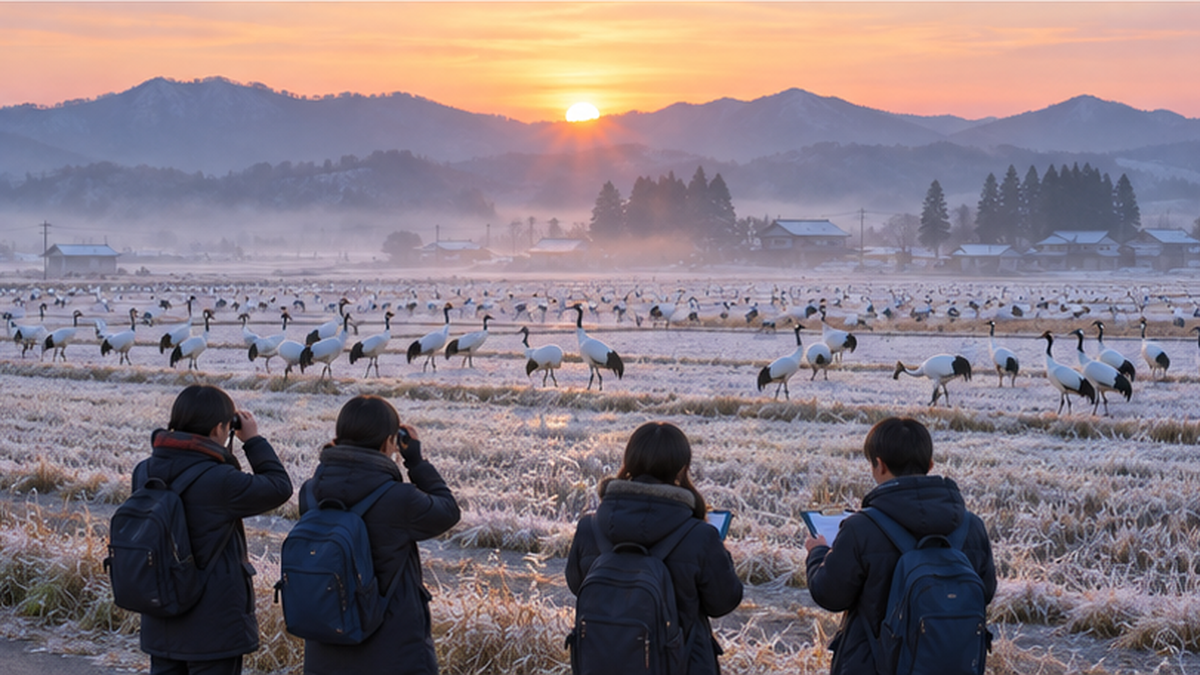
Inland marshes and farmland also produce striking numbers. Miyajima-numa in Bibai, Hokkaido (listed 2002) gathers up to 60,000–70,000 greater white-fronted geese at its spring and autumn peaks. Kabukuri-numa and surrounding rice paddies in Miyagi (listed 2005, 423 ha), together with nearby Izunuma and Uchinuma, form one of Japan's largest wintering grounds for the species, said to exceed 100,000 birds in good years. Izumi wintering habitat of cranes in Kagoshima (listed 2021, 478 ha) receives more than 10,000 hooded and white-naped cranes every year, with about 90% of the world's hooded cranes and about 40% of white-naped cranes concentrated there. According to Izumi City records, the peak count in fiscal 2025 was roughly 13,300 birds.
Urban estuaries matter too. Manko, straddling Naha and Tomigusuku in Okinawa (listed 15 May 1999, 58 ha), is an estuarine tidal flat at the confluence of the Kokuba and Noha rivers. Surrounded by housing and roads, it is nevertheless known as a shorebird stopover and is fringed with mangrove forest. In May 2003 the Ministry of the Environment opened the Manko Waterbird and Wetland Center, whose boardwalk through the mangroves lets visitors observe the life of the flat. Fifty-eight hectares of tidal flat left inside a city carry part of a corridor linking Southeast Asia and Siberia.
A structure where losing one link breaks the corridor
Conserving migratory birds is hard because losing any one of the breeding, stopover or wintering sites hits the whole population. Large-scale reclamation along the Yellow Sea coast has reduced stopover sites, and many EAAF shorebirds are in decline, as covered in our companion article Shorebirds and the Tidal Flat Crisis. That is why the convention makes international cooperation its third pillar, and why Japan joined the EAAF Partnership, launched in 2006, as a government partner and registers its key wetlands as Flyway Network Sites.
Japan's wetlands from a migratory bird's point of view
- Position: stopover and wintering sites near the center of the EAAF (22 countries, 50+ million birds)
- Tidal flats: Higashiyoka-higata hosts 14,000+ shorebirds in spring (No. 1 in Japan)
- Marshes and paddies: up to 60,000–70,000 geese at Miyajima-numa, around 100,000 around Kabukuri-numa
- Farmland: about 90% of the world's hooded cranes winter on the Izumi plain
Case 1: Urban Tidal Flats Saved by Citizens — Yatsu-higata and Fujimae-higata
Among Japan's Ramsar sites, the best-known wise-use stories belong to two tidal flats that survived right next to major cities. Both were places 'meant to be reclaimed', and citizens' voices changed the government's decision.
Yatsu-higata: 40 hectares hemmed in by an expressway and housing
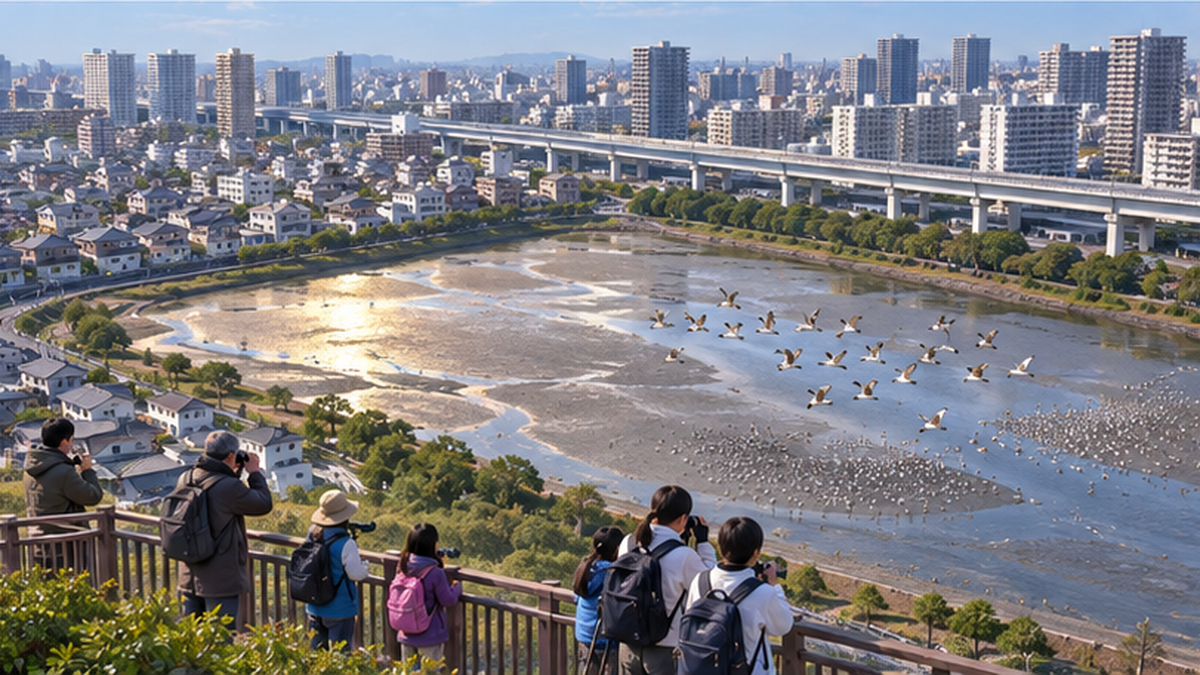
Yatsu-higata in Narashino, Chiba Prefecture, saw reclamation works and plans continue in the surrounding waters from around 1971 as Tokyo Bay was filled in. A citizens' protection movement began in response, and through repeated clean-ups and observation activities the reclamation was halted. On 10 June 1993, Yatsu-higata became the first tidal flat in Japan to be listed under the Ramsar Convention. It covers just 40 hectares. It is surrounded by an expressway, housing, a high school and an elementary school, and connects to Tokyo Bay only through two narrow channels.
In 1994, the year after listing, the Yatsu-higata Nature Observation Center opened as a base for birdwatching and environmental education. Every June an event marking the listing anniversary, 'Yatsu-higata Day', is held, and a system in which citizens, schools and companies take part in conserving the flat has continued for more than 30 years. It is a textbook example of protecting a tidal flat in the middle of a city by continuing to use it.
Maintaining a flat that has been completely enclosed by reclamation is not easy, however. Because seawater enters and leaves Yatsu-higata only through two channels, water exchange is limited, and in summer large amounts of the green alga sea lettuce accumulate, affecting benthic life and bird feeding grounds — a long-standing problem. Narashino City, the observation center and citizen volunteers continue to collect the algae and manage the channels. This small flat shows that listing is not the end: only with everyday care is a tidal flat's ecological character maintained.
Fujimae-higata: a landfill plan withdrawn and a 'garbage emergency declaration'
Fujimae-higata in Nagoya, Aichi Prefecture, followed an even more dramatic path. In 1981 the City of Nagoya announced a plan to turn the flat into a landfill for its ever-growing waste. But this was the largest tidal flat left in Ise Bay and an important shorebird stopover. Opposition spread, and in January 1999 the city abandoned the reclamation plan.
What to do with the waste that now had nowhere to go? In February that year Nagoya issued a 'garbage emergency declaration' and switched to thorough separation and recycling. The decision to protect a tidal flat changed the waste policy of an entire city. On 1 November 2002 the flat became a national wildlife protection area (mass migratory site), and on 18 November 2002 it was listed under the Ramsar Convention at COP8. Today the Fujimae-higata Activity Center and the Inae Visitor Center serve as bases for environmental education.
Lessons shared by the two tidal flats
- Beyond saying 'protect it', activities that used the flat, such as observation walks and clean-ups, widened the circle of citizens
- For a government to withdraw a plan, the debate had to include alternatives such as waste reduction
- After listing, observation centers became bases where the next generation keeps engaging with the flat
How extensively Japan's tidal flats have been reclaimed is laid out in Why Were Japan's Tidal Flats Reclaimed?. Yatsu and Fujimae are places that created 'exceptions' within that larger trend.
Case 2: Wetlands Alongside Farming — Winter-Flooded Paddies at Kabukuri-numa and Storks on the Maruyama River
Another pillar of wise use is agriculture. Several of Japan's Ramsar sites include rice paddies, and the idea of 'using paddies as wetlands' has drawn international attention.
Kabukuri-numa and surrounding rice paddies: the world's first listing to include paddies
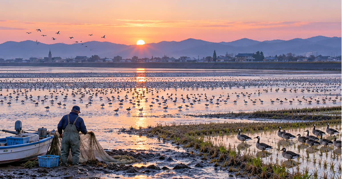
Kabukuri-numa in northern Miyagi Prefecture is a roost for greater white-fronted geese and many other migratory birds. The geese spend the night on the marsh and the day in the surrounding paddies eating fallen grain and weeds. In other words, marsh and paddies function as one. When the site was listed on 8 November 2005, the 423 hectares registered as 'Kabukuri-numa and surrounding rice paddies' included not just the marsh but the paddies around it. This is said to be the first time anywhere in the world that rice paddies were listed as a Ramsar wetland.
Behind it lies the practice of 'fuyu-mizu-tambo', winter-flooded paddies. Fields that would normally be drained after harvest are kept flooded through winter. This provides feeding grounds and roosts for migratory birds, and it also boosts soil organisms such as tubificid worms that suppress weeds, enriching the paddy ecosystem itself. The Ministry of the Environment's Biodiversity Center presents the scheme in which rice grown in winter-flooded paddies is sold at a premium as a leading domestic example of payment for ecosystem services (PES). Farmers gain effort rewarded with income, migratory birds gain a wintering ground, and the region gains a brand — three parties benefiting at once is the ideal form of wise use.
Winter flooding brings concrete advantages to both birds and farmers. With water in the winter fields, geese and swans can spread out to roost instead of crowding onto the marsh, which limits the buildup of droppings and the spread of disease that come with overcrowding. For farmers, the standing water suppresses weed germination, and bird droppings and soil organisms add fertility, making it easier to cut pesticides and chemical fertilizer. Ministry of the Environment materials report that goose numbers have risen steadily since winter flooding began around Kabukuri-numa. The shift from 'sacrificing paddies to protect birds' to 'birds raising the value of paddies' is why this case is recognized internationally.
Lower Maruyama River and surrounding rice paddies: extinct storks now number 500
The lower reaches of the Maruyama River in Toyooka, Hyogo Prefecture, were listed in July 2012 as 'Lower Maruyama River and surrounding rice paddies', with the area expanded in 2018. This is the stage for the reintroduction of the oriental stork, whose wild population in Japan went extinct in 1971. Since the first five birds were released on 24 September 2005, breeding in the wild has progressed steadily, and in June 2025, twenty years after that first release, the wild stork population passed 500. The birds have reached 13 prefectures.
The oriental stork is a large carnivorous bird that eats a considerable quantity of frogs, fish and insects each day. That storks can live here means the paddies and channels are rich in the creatures they feed on. In Toyooka, 'stork-friendly farming' that cuts pesticides and chemical fertilizer and builds fishways and deep pools in the paddies has spread, and its rice is sold as a high-value brand. Artificial wetlands such as the Hachigoro Toshima Wetland, converted from abandoned paddies into a biotope, also form part of the listed area.
| Item | Kabukuri-numa and surrounding rice paddies (Miyagi) | Lower Maruyama River and surrounding rice paddies (Hyogo) |
|---|---|---|
| Year listed | 2005 (COP9) | 2012 (COP11), expanded 2018 |
| Emblematic bird | Greater white-fronted goose (100,000+ in good years) | Oriental stork (500+ in the wild in 2025) |
| Link to farming | Winter-flooded paddies | Stork-friendly farming (reduced pesticides, fishways, deep water) |
| Economic mechanism | Payment for ecosystem services (premium rice) | Brand rice, ecotourism |
| Wetland character | Marsh plus paddies form one living space for geese | Complex of river, paddies and artificial wetlands |
How much life rice paddies themselves nurture is explained in A Field Guide to Rice Paddy Wildlife.
Case 3: Fisheries, Tourism and Wetlands — Lake Shinji Clams, Izumi Cranes and Wetland City Accreditation
Wise use takes its clearest form when tied to fisheries and tourism, because the wetland's benefits directly become local livelihoods.
Lake Shinji and Nakaumi: Japan's top clam producer is a brackish wetland
Lake Biwa in Shiga Prefecture, Japan's largest lake, was listed in 1993 and expanded in 2008 to include the adjacent Nishi-no-ko. Fixed-net fishing known as 'eri' and a lake-fish food culture typified by funazushi have continued here for more than a thousand years, directly linking an ecosystem with endemic fish and shellfish to people's tables. In recent years, restoration of reed beds along the shore and 'fish-cradle paddies' with fishways so that fish can spawn in rice fields have advanced, making the very landscape of fish moving between lake and paddy a practice of wise use.
Lake Shinji in Shimane Prefecture and Nakaumi, which extends into Tottori, are brackish lakes listed together on 8 November 2005. Lake Shinji's Yamato shijimi clams account for around 40% of Japan's clam catch, making it the country's leading producer, and clam fishing is inseparable from the lake's water and sediment quality. Reclamation and freshwater conversion of Nakaumi were once planned, but the freshwater project was halted in 2002, and protecting the brackish environment led to listing. The rake-dredge fishing in which clam fishers scrape the lake bed continues with limits on fishing days and catch for resource management, a leading example of fishing that 'uses while protecting'.
Izumi wintering habitat of cranes: 60-plus years of citizen counts on farmland
On the Izumi plain in Kagoshima Prefecture, most of the land where cranes winter is farmland. The 478 hectares listed on 18 November 2021 as Japan's 53rd site incorporate a system of creating feeding grounds and roosts for cranes in paddies and fallow fields. What stands out is that local junior high school students have led the crane counts for more than 60 years. The tradition of students joining early-morning counts several times each autumn and winter is a cultural side of wise use, passing the wintering ground on to the next generation as a source of local pride.
Wetland City Accreditation: Niigata and Izumi were Japan's first
Since 2015 the convention has run Wetland City Accreditation, which recognizes municipalities that excel in wetland conservation and wise use. In November 2022, at the COP14 accreditation ceremony in Geneva, Niigata City and Izumi City became the first in Japan to be accredited. Niigata has two Ramsar sites within its boundaries, Sakata and Hyoko, and has positioned its lagoons, or 'kata', as part of everyday culture. The accreditation evaluates efforts that tie wetland conservation to local branding, education and tourism, and is drawing attention as a way to make wise use visible at the municipal level.
The 'wisdom' shared by fisheries, tourism and municipalities
- Keep fishing, paired with resource management (fishing days, catch limits)
- Use farmland as feeding grounds and roosts, with a mechanism that returns value to farmers
- Make wetlands part of local identity through citizen surveys and environmental education
- Put wetlands at the center of municipal policy and make their value visible through international accreditation
Listing Is No Guarantee: Changes in Ecological Character and the Global Wetland Crisis
We have looked at success stories, but Ramsar listing is not a finish line. The convention requires that the ecological character at the time of listing be maintained, and if it is damaged the site can be placed on a watch list called the Montreux Record and asked to improve.
The world's wetlands are still disappearing at 0.52% a year
Global Wetland Outlook 2025, released by the convention secretariat to coincide with COP15 in Victoria Falls, Zimbabwe, in July 2025, paints a stark picture. About 411 million hectares of wetlands have been lost worldwide since 1970, roughly 22% of the total. The decline continues at 0.52% a year. Around 25% of remaining wetlands are rated in poor ecological condition, and that share is rising in every region. The report warns that without action, wetland benefits worth 39 trillion dollars could be lost by 2050.
Japan has already lost 61% of its wetlands
The situation in Japan is the same. According to the Geospatial Information Authority of Japan, the country's wetlands shrank from about 2,110 square kilometers in the Meiji and Taisho eras to about 820 square kilometers by 1999, a decline of about 61%, with more than 80% of the lost area concentrated in Hokkaido. The 54 sites and 166,134 hectares are only the internationally important portion of what survived.
| Indicator | Figure | Source |
|---|---|---|
| Wetlands lost worldwide since 1970 | About 411 million ha (about 22%) | Global Wetland Outlook 2025 |
| Annual global wetland loss rate | 0.52% | Global Wetland Outlook 2025 |
| Share of wetlands rated in poor condition | About 25% (rising in every region) | Global Wetland Outlook 2025 |
| Change in Japan's wetland area | About 2,110 km² → about 820 km² (about 61% decline) | Geospatial Information Authority of Japan (Meiji–Taisho to 1999) |
| Japan's Ramsar sites | 54 sites, 166,134 ha | Ministry of the Environment (July 2025) |
Challenges facing listed sites
Listed wetlands face many pressures: changes in sediment supply from upstream dams and embankments, water quality degradation from domestic sewage and farm nutrients, invasive species, and rising water temperatures and sea levels driven by climate change. At wintering grounds where migratory birds concentrate, the risk of highly pathogenic avian influenza killing many birds at once has become real. And if the number of farmers and fishers declines, wetlands 'maintained by human hands', such as winter-flooded paddies and clam fisheries, degrade through disuse. Wise use is not something that continues on its own.
In its National Biodiversity Strategy 2023–2030, adopted in 2023, the Japanese government set the '30by30' target of conserving at least 30% of land and sea by 2030. Beyond protected areas such as national parks, the strategy certifies areas where biodiversity is maintained even though protection is not the primary purpose, such as satoyama landscapes and corporate water-source forests, as 'Nature Coexistence Sites', and registers them internationally as OECMs (other effective area-based conservation measures). Winter-flooded paddies, stork-friendly fields and resource-managed fisheries are exactly the kind of candidates that are 'used while protected', a field where Ramsar wise use and domestic policy overlap.
Concentration at a single wintering ground is another issue being reconsidered through the lens of wise use. Having about 90% of the world's hooded cranes gather on the limited farmland of the Izumi plain puts the whole population at risk if an infectious disease spreads. In the winter of 2022–2023 that concern became reality when highly pathogenic avian influenza killed many cranes at Izumi. The Ministry of the Environment and related municipalities are therefore working to disperse wintering cranes to other regions. 'Using' wintering grounds in several regions is directly tied to the survival of the species.
Cases where not using a wetland destroys it
- If fewer farmers flood their fields in winter, geese and swans lose feeding grounds and roosts at the same time
- If reed cutting and controlled burning stop, marshes dry out and turn into forest
- If fisheries decline, the everyday eyes that watch a lake's water and sediment disappear
Wise Use We Can Practice: Visit, Eat, Record
Wise use is not only for governments and experts. Since the convention covers 'all wetlands in a country', our everyday choices are part of it. Finally, here are three entry points anyone can take up today.
1. Visit: observation centers and World Wetlands Day
Many of Japan's Ramsar sites have waterbird and wetland centers or nature observation centers set up by the Ministry of the Environment or local governments. At the Yatsu-higata Nature Observation Center, Fujimae-higata Activity Center, Manko Waterbird and Wetland Center, Miyajima-numa Waterbird and Wetland Center and others, expert staff guide visitors through each season's migratory birds. Every year on 2 February, the anniversary of the convention's adoption, World Wetlands Day is marked with observation walks and events around the country. For how to choose binoculars and where to go birding each season, see A Beginner's Guide to Birdwatching. When visiting, keep your distance from the birds and never enter a tidal flat without permission; that is the basic etiquette.
2. Eat: choose the bounty of wetlands
Lake Shinji clams, winter-flooded-paddy rice from around Kabukuri-numa, stork-friendly rice from Toyooka, lake fish from Lake Biwa: these products are the fruit of wetland wise use itself. Choosing produce from wildlife-friendly farming and resource-managed fisheries is the most direct way to return value to the people who keep using wetlands.
3. Record: take part in citizen surveys
The crane counts by Izumi's junior high students and the shorebird surveys of the Ministry of the Environment's Monitoring Sites 1000 are supported by many citizen volunteers. In Toyooka, a system in which citizens post stork sightings that are published as data has been praised as 'globally novel'. For children there are programs such as KODOMO Ramsar, in which young people from Ramsar sites visit and learn about each other's wetlands. Records are the basis for judging whether a wetland's ecological character is being maintained, and wetlands with people recording them are easier to protect.
School initiatives are spreading too. Around Ramsar sites, elementary and junior high schools work with observation centers to use tidal flats and marshes as teaching material in integrated studies, and increasingly present the results of clean-ups and wildlife surveys to the community. At Yatsu in Narashino and Fujimae in Nagoya, the generation that led the citizen movements is now the one guiding children onto the flats. Raising more children who experience a wetland as 'our place' may be the surest investment in the ecological character of decades to come.
Summary of this article
- Wise use means maintaining a wetland's ecological character through 'use that does not destroy'. It is one of the convention's three pillars
- Japan has 54 Ramsar sites covering 166,134 ha, ranging from tidal flats and lakes to paddies, coral reefs and underground rivers
- Japan's tidal flats and marshes are stepping stones supporting a flyway of 22 countries and 50+ million birds
- Citizen movements stopped reclamation at Yatsu and Fujimae; Kabukuri-numa and the Maruyama River brought back geese and storks alongside farming
- The world has lost 22% of its wetlands since 1970, and Japan 61% since the Meiji era. Listing is the start of a promise to keep protecting
- Visit, eat, record: individual choices are part of wise use too
Wetlands rest on a delicate balance: they cannot be protected if no one uses them, and they are lost if used too much. The Ramsar Convention chose the words 'wise use' more than half a century ago because it saw that the wisdom to keep that balance is the essence of conservation. Japan's 54 wetlands are working examples of that wisdom, and at the same time places where it will keep being tested.
References and Sources
- Ministry of the Environment, Japan – The Ramsar Convention and Ramsar sites (overview, three pillars, criteria, list of Japanese sites)
- Ministry of the Environment, Japan (press release) – Lake Inawashiro newly listed as a Ramsar site (July 2025; 54 sites, 166,134 ha)
- Convention on Wetlands Secretariat – Global Wetland Outlook 2025 (22% lost since 1970, 0.52% annual loss, USD 39 trillion in benefits)
- Ramsar COP9 Resolution IX.1 Annex A – Definitions of wise use and ecological character (2005)
- Ministry of the Environment, Japan – East Asian–Australasian Flyway Partnership (EAAFP)
- Geospatial Information Authority of Japan – Survey of changes in Japan's wetland area (Meiji–Taisho to 1999)
- Biodiversity Center of Japan, Ministry of the Environment – Winter-flooded paddies at Kabukuri-numa: a leading example of payment for ecosystem services (PES)
- City of Nagoya – Conservation and use of Fujimae-higata (abandonment of the landfill plan and the garbage emergency declaration)
- City of Narashino – Yatsu-higata marks the 30th anniversary of its Ramsar listing
- City of Niigata – Ramsar Wetland City Accreditation (2022; Niigata and Izumi were Japan's first)
- City of Izumi – Crane arrivals by fiscal year (records of counts by junior high school students)
- Shimane Prefecture – Ramsar site 'Lake Shinji and Nakaumi' / clam fishing on Lake Shinji
Listed in order of reliability: government and academic institutions > peer-reviewed papers > specialist organizations > reputable media