⚡ In short
Japan had 82,621 hectares of tidal flats in 1945. By 1996 only 49,380 remained. Tokyo Bay lost more than 80 percent, and the Isahaya Bay reclamation reshaped the Ariake Sea. This is the history of that loss, the functions that vanished with it, and where restoration stands today.
They appear when the tide falls and disappear when it rises. A tidal flat is land between sea and shore that shows itself only twice a day. That very ambiguity meant tidal flats were long regarded as 'land not yet in use'. Shallow and easy to fill, close to cities and factories, and owned by no one — for modern Japan, tidal flats were the cheapest land available.
According to the Ministry of the Environment's National Survey on the Natural Environment, the 82,621 hectares of tidal flats Japan had in 1945 had fallen to 49,380 hectares by 1996. The 33,241 hectares lost amount to roughly half the area of Tokyo's 23 wards. And the losses were far from even. In Tokyo Bay 9,449 hectares fell to 1,016; in the eastern Bisan Strait only a tenth survived.
Separately from our article on tidal flat conservation, which covers what these habitats are worth, this piece focuses on the history: why they were filled in, where and how much was lost, and where the filling finally stopped. Every figure comes from primary sources such as the Ministry of the Environment, the Fisheries Agency and the Ministry of Land, Infrastructure, Transport and Tourism.
What you will learn
- The hard data on how Japan lost more than 30,000 hectares of tidal flats in the half century after 1945, and how differently each sea area fared
- Why tidal flats were treated as 'easy land to create', from Edo-period rice paddy reclamation to the postwar coastal industrial belts
- Why Tokyo Bay kept only a fifth and the eastern Bisan Strait only a tenth, while the Ariake Sea still holds Japan's largest tidal flats
- The Isahaya Bay reclamation, the 'Ariake Sea anomaly', the court ruling finalised in 2023, and the restoration measures now under way
- How reclamation was halted at Fujimae, Nakaumi and Sanbanze, and where restoration stands today, including the limits of artificial tidal flats
What a tidal flat is — and why it looked like 'land waiting to be filled'
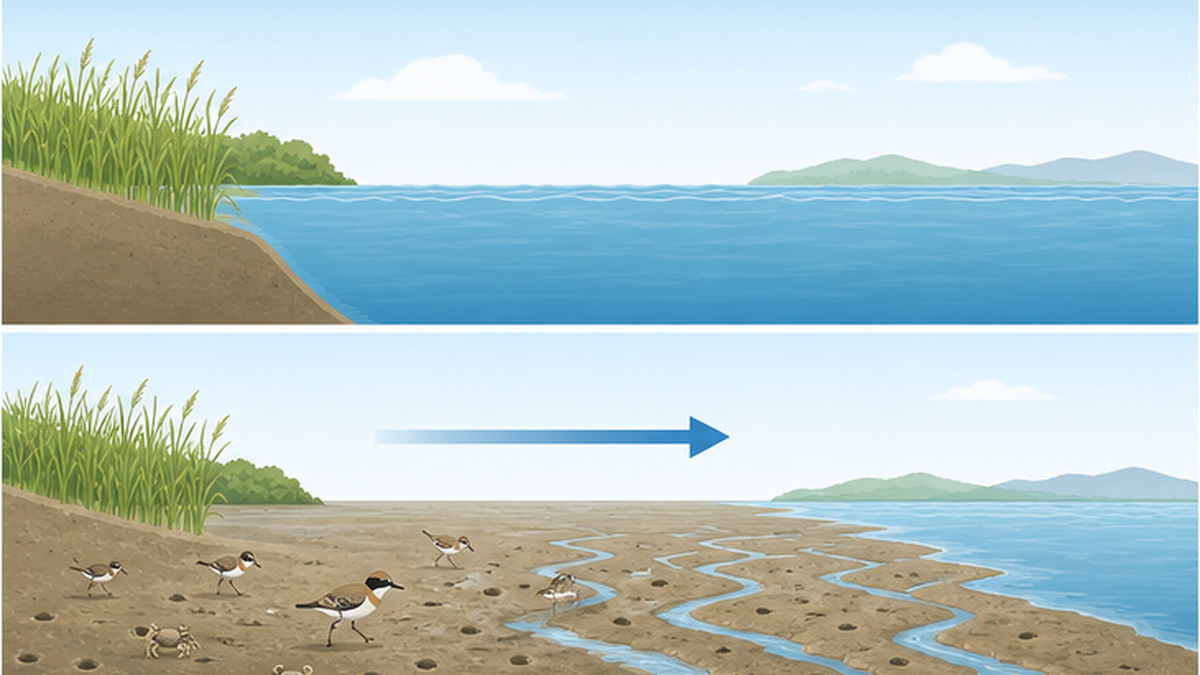
A tidal flat is a flat seabed of sand or mud that is alternately exposed and submerged by the tides. The Ministry of the Environment's National Survey counts as tidal flats those areas roughly 100 metres or more wide at low tide, at least one hectare in exposed area, and composed of mobile sediment such as sand or mud. They form where fine sediment carried by rivers settles slowly in sheltered inner bays.
Neither sea nor land, and extraordinarily productive
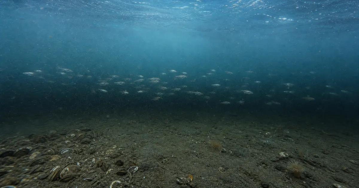
Organic matter arrives continuously on the flat, and sunlight reaches the bottom through shallow water. Because both conditions are met, the biological productivity of a tidal flat per unit area rivals that of a rainforest or a coral reef. Polychaete worms, clams and fiddler crabs till the mud, and fish and birds gather to feed on them. People dug for clams, farmed nori seaweed, and waited for juvenile fish to grow.
| Function | What it does |
|---|---|
| Water purification | Filter feeding by bivalves and bacterial decomposition remove organic matter, nitrogen and phosphorus |
| Fisheries production | Grounds for clams, hard clams and nori. A nursery where juvenile fish and shrimp grow |
| Biodiversity | Benthic animals, fish and migratory birds depend on it in layers. A staging site on international flyways |
| Disaster mitigation | The gently sloping bottom dissipates wave energy and weakens the force reaching the shore behind it |
| Carbon storage | Organic carbon accumulates in the sediment. Counted among the blue carbon ecosystems |
| Culture and recreation | Clam digging, tide pooling and nature observation — where people touch the sea rather than merely look at it |
Calling it 'unused land' made filling it easy
In modern Japan, however, tidal flats were long treated as 'shallows that are not being used for anything yet'. Not farmland, not housing, not private property. The sea surface was public, and the rights attached to it were organised as fishing rights — so once compensation was agreed with the fisheries cooperative, land could be created. That structure made reclamation the cheap option, institutionally as well as economically.
- Shallow water: far less fill material is needed than in deeper offshore sites
- Close to cities and ports: sitting at the head of inner bays, the new land could be put to industrial use immediately
- Simple rights clearance: no need to buy out private landowners; compensating fishing rights completed the procedure
- Value that never appeared in the ledger: purification and nursery functions were not priced at the time
The starting point
- The disappearance of tidal flats was not an accident. It was land creation carried out deliberately, in line with the institutions and the economics of the day
- What was lost was not area alone but a bundle of functions: purification, fisheries, migratory birds and coastal defence
- That is precisely why stopping it, and reversing it, required changing both the institutions and the way value is assessed
The data: how much of Japan's tidal flats disappeared
The loss is not a matter of impression. The National Survey on the Natural Environment, conducted nationwide to a consistent standard by the Ministry of the Environment, records the change in area as hard numbers. It puts Japan's total tidal flat area at 82,621 hectares in 1945, 53,856 hectares in 1978 and 49,380 hectares in 1996.
28,000 hectares vanished in the 33 years to 1978
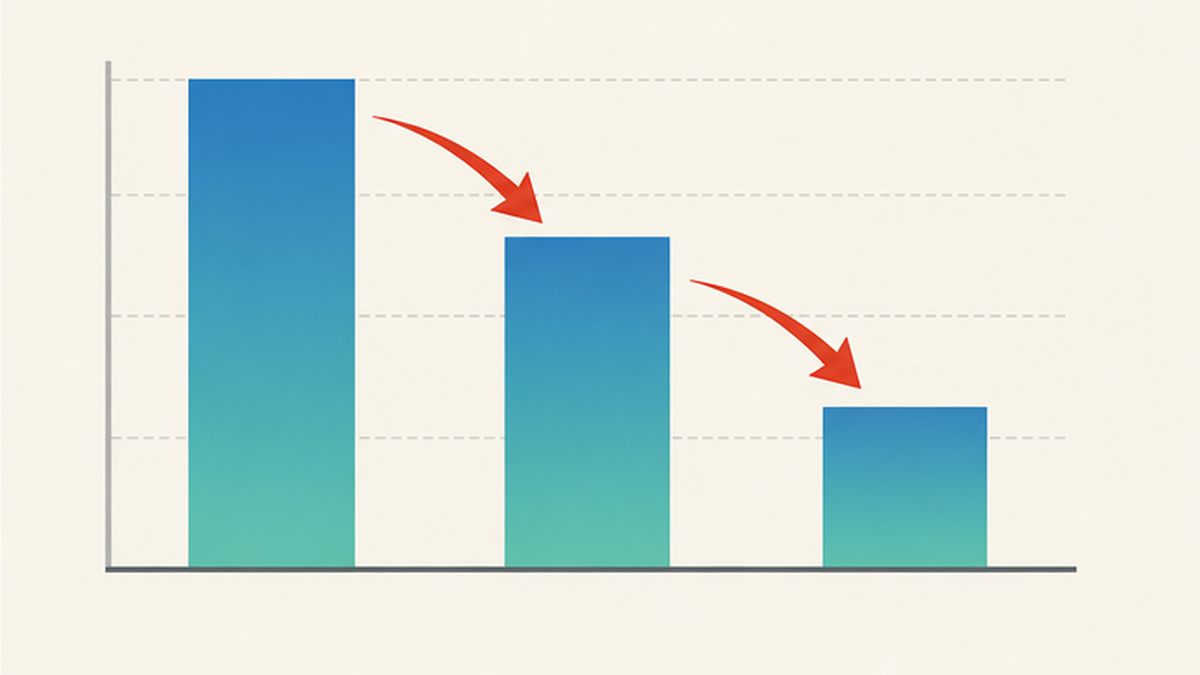
What stands out is the pace. Between 1945 and 1978, a span of 33 years, 28,765 hectares disappeared — more than a third of everything that existed. The following 18 years, from 1978 to 1996, saw a loss of 4,476 hectares, a clearly slower rate. This is a direct reflection of the fact that Japan's reclamation was concentrated in the high-growth era.
Broken down by sea area, the losses look completely different
A national average of '60 percent remaining' conceals extreme regional differences. For the major sea areas that had at least 1,000 hectares of tidal flats in 1945, the ministry's figures are as follows.
| Sea area | 1945 (ha) | 1978 (ha) | 1996 (ha) | vs 1945 |
|---|---|---|---|---|
| Japan total | 82,621 | 53,856 | 49,380 | 60% |
| Ariake Sea | 26,609 | 22,226 | 20,391 | 77% |
| Western Suo Sea | 8,590 | 6,739 | 6,532 | 76% |
| Yatsushiro Sea | 6,867 | 4,878 | 4,083 | 59% |
| Mikawa Bay | 2,627 | 1,367 | 1,526 | 58% |
| Ise Bay | 2,939 | 1,153 | 1,375 | 47% |
| Beppu Bay | 1,598 | 702 | 438 | 27% |
| Tokyo Bay | 9,449 | 1,016 | 1,734 | 18% |
| Eastern Bisan Strait | 3,715 | 492 | 373 | 10% |
Tokyo Bay retained 18 percent and the eastern Bisan Strait (the eastern Seto Inland Sea off Okayama and Kagawa) just 10 percent. The Ariake Sea, by contrast, kept 77 percent, and as of 1996 roughly 40 percent of all Japan's tidal flats — 20,391 hectares — were concentrated there. The gap between seas that took the full weight of urban and industrial pressure and those that did not is written plainly in the table.
Why only the Ariake Sea held on
The Ariake Sea did not keep its flats because they were well protected. The main reasons are that the original area was in a different league altogether, and that the industries that consume tidal flats had limited reason to locate there. Several large rivers, the Chikugo among them, deliver enormous volumes of fine sediment, and a tidal range reaching about six metres spreads it thinly and widely. As long as the sediment keeps coming, the flat keeps building seaward.
But 'still there' and 'in good health' are different things. Even as its area held up, the Ariake Sea suffered a run of fishery failures from around 2000, as described below. Area alone cannot measure the condition of a tidal flat.
Seagrass beds shrank at the same time
Tidal flats were not the only casualty. The same survey shows Japan's seagrass beds falling from 207,615 hectares in 1978 to 201,212 hectares in 1992. Tidal flats and seagrass beds form one continuous shallow-water ecosystem, and the figures show that the shallow margin of the coast was being shaved away as a whole. See also our article on restoring seagrass beds.
Reading the numbers carefully
- The 1945 figure is an estimate reconstructed from the round-2 survey by adding 'existing' and 'lost' tidal flat area
- The increases in Tokyo Bay, Ise Bay and Mikawa Bay between 1978 and 1996 partly reflect artificial tidal flat construction and differences in survey method
- Even where area recovers, species richness and productivity do not necessarily return with it (see below)
A history of reclamation: from new rice fields to coastal industrial belts
Turning tidal flats into land did not begin after the war. For centuries, Japan treated tidal flats as farmland that could be added to. But the purpose and the scale changed enormously from age to age.
Phase 1: Edo-period polders, built to grow more food
During the Edo period, domains pushed polder reclamation — walling off shallow inner bays with dykes and draining the water — to raise the rice yields on which their finances rested. The Saga plain along the Ariake Sea and Kojima Bay in Okayama are the classic examples. The Ariake Sea has Japan's largest tidal range, up to about six metres at spring tides, and when the water withdraws, kilometres of mud plain emerge. Dykes were pushed seaward step by step, extending the paddies into the sea.
Reclamation in this era was slow, partial and modest enough for the surrounding ecosystem to keep pace. So long as sediment kept arriving, a new tidal flat grew in front of each closure. That is the decisive difference from modern reclamation.
Phase 2: Meiji to prewar — ports, industry and the Public Water Body Reclamation Act
With modernisation, the purpose shifted from farmland to port and factory sites. The decisive institutional step was the Public Water Body Reclamation Act, enacted in 1921. By requiring a licence from the prefectural governor to reclaim public waters — rivers, seas and lakes — the act also meant, conversely, that with a licence in hand, publicly owned sea could be converted into private land. Every subsequent reclamation ran through this framework.
Phase 3: the high-growth era, when the greatest losses occurred
From the late 1950s to the early 1970s, the creation of coastal industrial belts — Keihin, Keiyo, Hanshin, Chukyo, Kitakyushu — was pursued as national policy. Steelworks, petrochemical complexes and thermal power stations all bring raw materials in by ship and send products out the same way, so they need broad flat land on the water. The tidal flats of the inner bays were the only source that met the specification.
The figure that 28,765 hectares of Japan's tidal flats disappeared between 1945 and 1978, a period covering this era, is the cost of that industrial transformation. The same years saw factory and domestic wastewater pour into the inner bays, worsening red tides, blue tides and eutrophication. The country lost its purification plant and increased the load on it at the same time.
Large-scale reclamation in this period extended beyond coastal tidal flats. Hachirogata in Akita Prefecture was Japan's second-largest lake after Lake Biwa, but a national polder project begun in 1957 to boost food production converted about 17,000 hectares into land, finishing in 1977 and creating the village of Ogata. Dutch engineers took part in the design, and it remains one of postwar Japan's signature feats of landscape engineering.
Phase 4: after the 1970s — waste disposal sites, airports and housing
Demand for industrial land slowed after the oil shocks, but reclamation did not stop. The purpose shifted to waste disposal sites, airports, housing and commercial land, and leisure facilities. The shallow inner sea was chosen once again, this time as somewhere to bury the enormous quantities of rubbish cities produce. That premise was challenged head-on at Fujimae in Nagoya, discussed below.

Tidal flats and shallow coastal waters are among the ecosystems most heavily affected by reclamation.
― National Institute for Environmental Studies, 'Kankyogi' No. 03, column on tidal flats, shallow waters and development
Tokyo Bay: 9,449 hectares reduced to 1,016
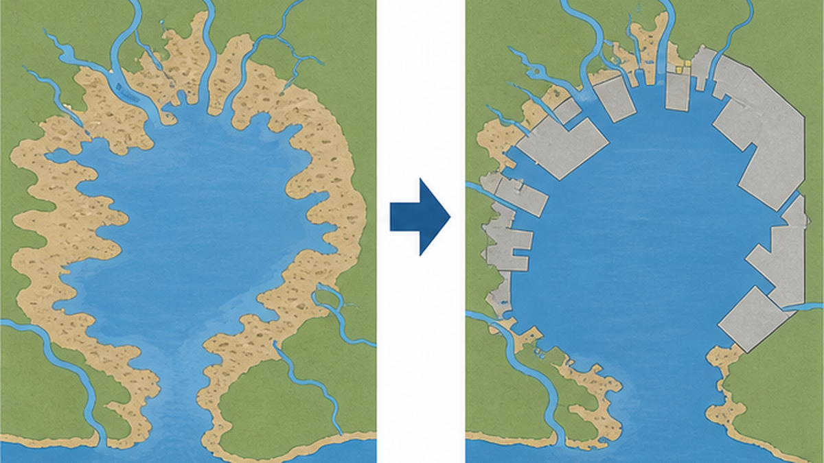
Nowhere experienced the loss more dramatically than Tokyo Bay. The 9,449 hectares of tidal flats present in 1945 had fallen to 1,016 hectares by 1978 — a loss of 89 percent. From Haneda to Kisarazu, almost the entire inner shoreline has been replaced by straight seawalls and reclaimed land.
The flats that fed 'Edomae' are gone
Tokyo Bay once yielded clams, hard clams and trough shells, and supported thriving nori cultivation. The term 'Edomae' refers to exactly this abundance produced by the shallow head of the bay. From Shinagawa through Omori to Haneda, vast racks of nori stood in rows, and nutrients carried by the Tama and Edo rivers fed the life on the flats. Reclamation meant surrendering that production base in exchange for industrial land.
Sanbanze: from the 1993 plan to its withdrawal in 2001
The largest surviving shallow area at the head of Tokyo Bay is Sanbanze, off Ichikawa and Funabashi in Chiba Prefecture. Chiba Prefecture presented a second-stage reclamation plan in 1993, but citizens, researchers and fishers mounted strong opposition. Sanbanze became the central issue of the spring 2001 gubernatorial election, and Akiko Domoto, who campaigned on scrapping the plan outright, won. That September, the governor formally withdrew the reclamation plan. The prefecture then shifted to a framework of 'restoration'.
What matters is that this was not a plan rejected by environmental assessment but one halted as a political choice. The institutions did not automatically protect the flats; public opinion moved the institutions.
Kasai Rinkai: how a leftover flat became a wetland of international importance
As nine-tenths of Tokyo Bay's tidal flats disappeared, the shoals known as Sanmaizu off Edogawa Ward were preserved under a 'marine park' concept. Kasai Seaside Park, which includes them, was listed as a Ramsar site on 18 October 2018, the first in metropolitan Tokyo. Shallows that had once been nothing but a reclamation target were redefined as an internationally important wetland — a telling milestone.
Yatsu and Banzu: how the survivors survived
Yatsu Tidal Flat in Narashino, Chiba, is a roughly 40-hectare remnant, entirely surrounded by reclaimed urban land and an expressway. Being state-owned land helped it escape filling, and after a citizens' protection campaign it was listed on 10 June 1993 as the first tidal flat in Japan designated a Ramsar site. Large numbers of shorebirds still visit it in the middle of a residential district.
Banzu Tidal Flat, at the mouth of the Obitsu River in Kisarazu, Chiba, is by contrast one of the largest natural flats remaining in Tokyo Bay, still fed with sediment by the river. What makes it valuable is that the structure is intact — reed beds and salt marsh continue behind the flat — preserving what a Tokyo Bay tidal flat originally looked like.
What the 'increase' actually means
- Tokyo Bay's tidal flat area rose from 1,016 ha in 1978 to 1,734 ha in 1996
- This is not natural recovery. Much of it reflects artificial tidal flats and shallows built from dredged sediment
- Artificial flats have been reported to support less biomass than natural ones, so recovered area does not equal recovered function
The Ariake Sea and Isahaya Bay: what happened on Japan's largest tidal flats
The Ariake Sea holds about 40 percent of Japan's tidal flats — 20,391 hectares as of 1996 — making it the country's largest tidal flat region. A tidal range of up to roughly six metres, the greatest in Japan, creates mud flats kilometres wide twice a day. Endemic Ariake species such as the mudskipper, the fiddler crab and the ice goby depend on this muddy habitat.
The national Isahaya Bay project and 14 April 1997
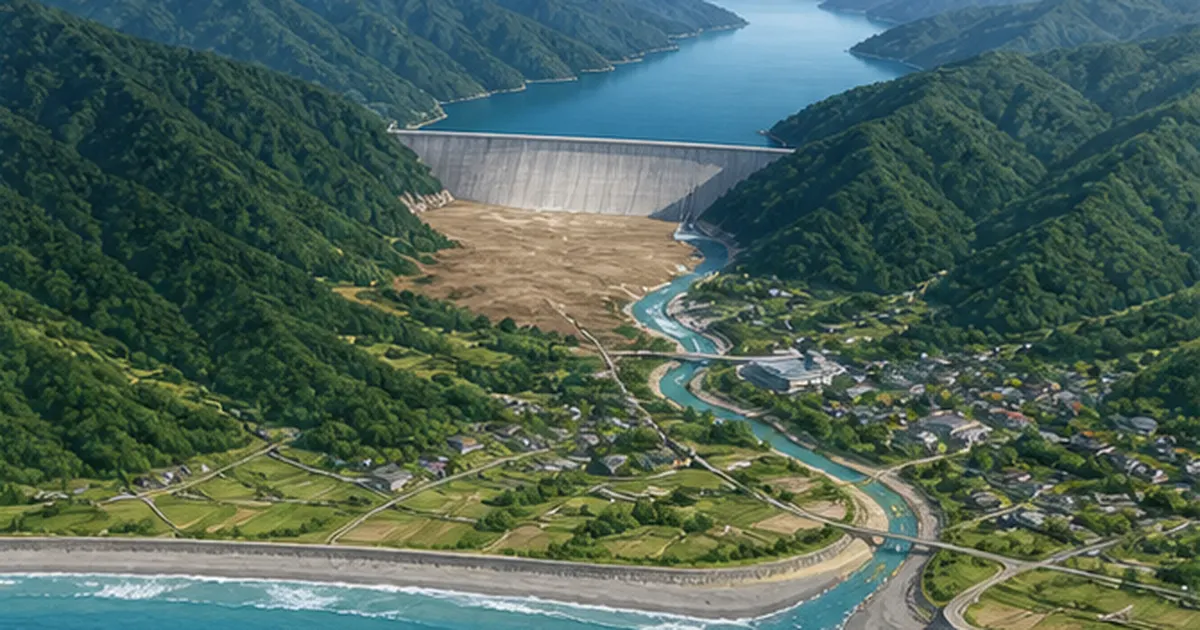
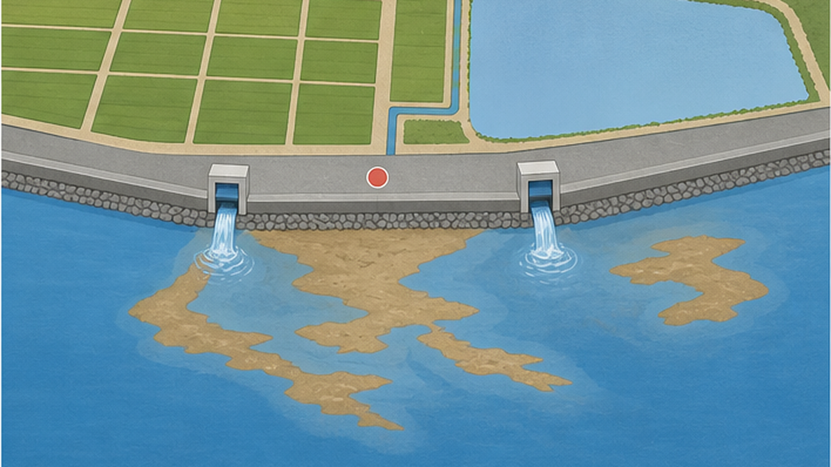
In Isahaya Bay, at the head of the Ariake Sea in Nagasaki Prefecture, the government pursued the national Isahaya Bay land improvement project. Begun in 1989 for flood control and farmland creation, it called for closing the bay with a tide-receiving dyke. On 14 April 1997, the final closure of that dyke was carried out. Footage of steel plates dropping one after another into the sea earned the nickname 'the guillotine', and roughly 3,550 hectares of reclaimed land and regulating reservoir were cut off from the sea.
The 'Ariake Sea anomaly': the nori crop failure of 2000
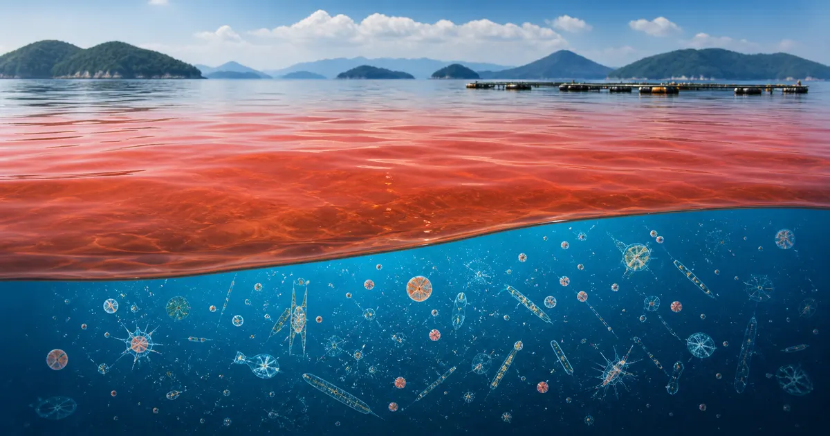
In the years after the closure, anomalies came thick and fast. The decisive one was the catastrophic nori failure in the winter of fiscal 2000. A red tide driven by large diatoms bleached the nori, devastating the producing region. At the same time stocks of the pen shell, a large bivalve, collapsed, forcing prolonged fishing suspensions. Hypoxic water masses were also reported. Together these came to be known as the 'Ariake Sea anomaly'.
In 2002 the government enacted a special measures law for restoring the Ariake and Yatsushiro seas — amended in 2011 to widen its scope — and established the Committee for the Comprehensive Survey and Evaluation of the Ariake Sea and Yatsushiro Sea under the Ministry of the Environment to investigate causes and evaluate restoration measures. That said, experts remain divided on the causal link between the reclamation project and the deterioration of the sea, because changes in tidal currents, reduced sediment supply from rivers, shifts in nutrient balance and rising water temperature are all entangled.
Twenty years of litigation over the gates, settled in 2023
Fishers sued to have the dyke gates opened, and in 2010 the Fukuoka High Court's order to open them became final. Farmers on the reclaimed land, meanwhile, sought an injunction against opening, producing the unusual situation of two contradictory binding judgments. The state then sought to strip the final judgment of its enforceability, the Fukuoka High Court accepted its argument, and in March 2023 the Supreme Court dismissed the fishers' appeal, settling the judicial position on the side of keeping the gates closed.
A legal conclusion does not resolve the restoration of the Ariake Sea. The state and the prefectures concerned are pursuing measures that do not involve opening the gates — sand capping, seabed tilling, rebuilding bivalve stocks, reducing river-borne loads — but no pathway has been set out for recovering the lost tidal flats themselves.
Points to keep in balance
- The Isahaya reclamation was carried out for public purposes: disaster prevention against storm surge and flooding, and the creation of farmland
- Farming continues on the reclaimed land today, so opening the gates bears directly on those farmers' livelihoods
- Multiple factors have been identified behind the environmental change, and no scientifically sound account attributes it to a single cause
- At the same time, it is widely accepted that the large-scale loss of tidal flats affected material cycling in the sea
What is lost when a tidal flat disappears
Only one figure enters the ledger of reclamation: the area of land created. The functions on the other side of the balance long went unrecorded. Here we put numbers on what tidal flats were doing.
Water purification: bivalves as living filters
Bivalves sit at the centre of a tidal flat's purifying power. A single adult Manila clam of about 10 grams is estimated to filter roughly one litre of seawater an hour, so a flat holding 20 adults per square metre filters on the order of 480 litres per square metre per day — some 4.8 million litres per hectare. The organic matter they take in falls to the bottom as faeces, bacteria break it down, and some of the nitrogen returns to the atmosphere as gas through denitrification.
In other words, tidal flats worked as a free sewage treatment plant, processing within the sea the nitrogen and phosphorus flowing in from the catchment. Reclamation shuts that plant down and installs a new pollution source — factories and cities — in its place. If nutrient loading rises while treatment capacity falls, worsening red tides and hypoxia follow logically.
Fisheries: clam landings at a few percent of their peak
According to the Ministry of Agriculture, Forestry and Fisheries' production statistics, domestic landings of Manila clams — the emblematic tidal flat catch — peaked at about 160,000 tonnes in 1983 and have since fallen to well under 10,000 tonnes. The causes are compound, including hypoxia, predation and poor spat settlement, not only the loss of flats; but the physical disappearance of the habitat itself underlies all of them. The fact that most clam-digging beaches now rely on seeding follows from the same story.
Migratory birds: a chain broken across borders
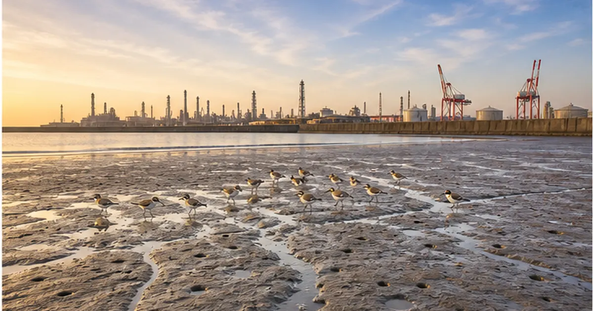
Tidal flats are the refuelling stops for shorebirds that breed in Siberia and the Arctic and winter in Southeast Asia and Oceania. Before flying thousands of kilometres, they nearly double their body weight on the flats. Lose one flat and the whole route stops working. Along the East Asian–Australasian Flyway, 38 percent of the 63 populations of migratory shorebirds are reported to be in decline.
This is not a domestic problem. Along the Yellow Sea coast, the core of the staging network, roughly two-thirds of the tidal flats were reclaimed between the 1950s and the early 2000s, and Korea's Saemangeum project (begun in 1991, closed in 2006) eliminated flats used by some 300,000 birds a year. Sharp declines in Yellow Sea populations of species such as the great knot have been reported. See shorebirds and the tidal flat crisis for more.
Biodiversity: the layered structure inside the mud
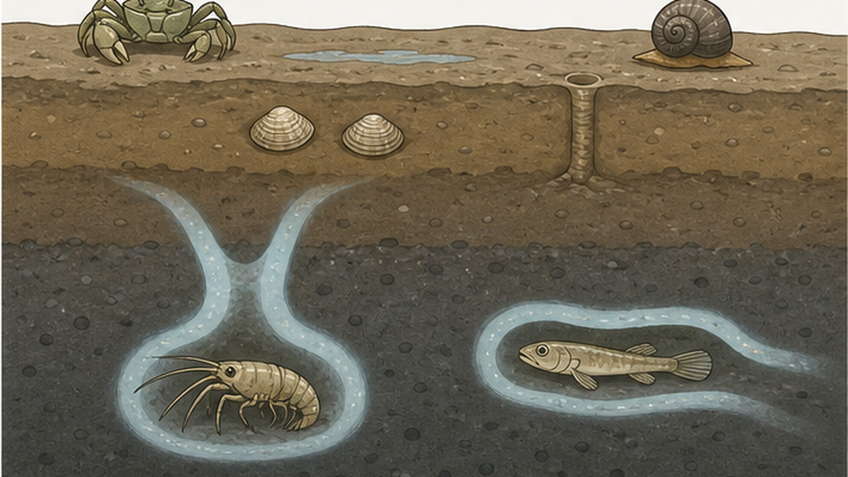
Life on a tidal flat is neatly stratified by depth and tidal height. Mud snails and sand bubbler crabs graze diatoms at the surface; clams filter feed a few centimetres down; mud shrimps and mudskippers burrow deeper still. This three-dimensional layering is the source of the flat's productivity, because burrows carry oxygen deep into the mud and drive microbial decomposition and denitrification.
Reclamation buries that structure under fill in a single operation. Benthic animals with little mobility cannot escape, and the fish and birds that depended on them go too. The loss of a tidal flat happens not as partial degradation but as the erasure of an entire community. Species specific to muddy flats have few alternative sites, so the narrower a species' range — the Ariake mudskipper, for instance — the harder it is hit.
Coastal defence, carbon and culture
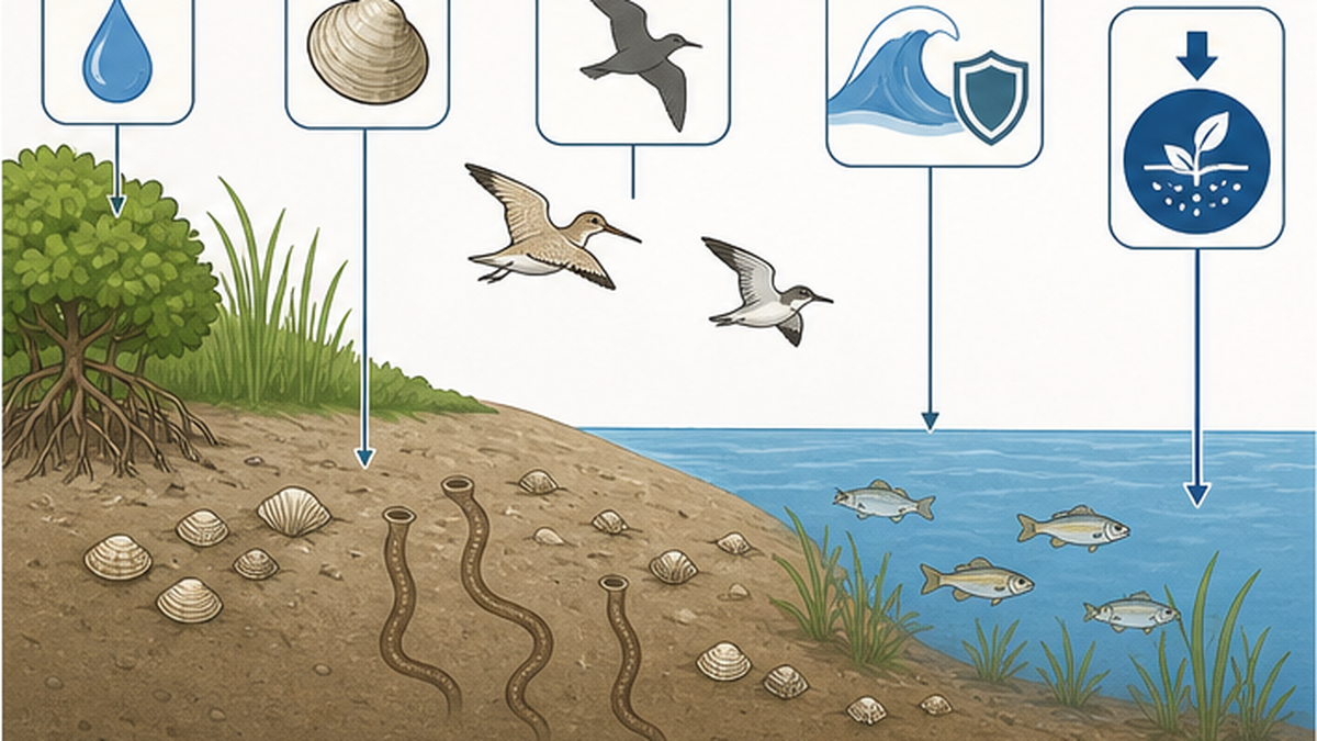
- Wave attenuation: a gently shelving flat saps wave energy. Replace it with a vertical seawall and waves reflect, scouring the seabed in front
- Carbon storage: tidal flat sediment locks away organic carbon over the long term. As a blue carbon ecosystem it is increasingly counted in national sink estimates
- Culture and education: clam digging and rockpooling are the entry point to touching the sea, not merely viewing it. Reclamation also severs physical access to the water
The turning point: three sites and a shift in the rules
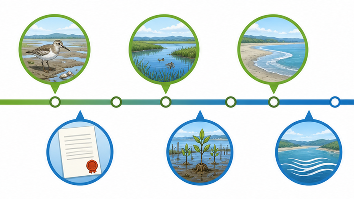
Between the late 1990s and the early 2000s, the trajectory of Japan's tidal flats changed decisively. Large reclamation and polder projects already under way were cancelled or withdrawn one after another. It was not the doing of institutions alone, nor of science alone.
Fujimae, 1999: a landfill plan turned into a plan to cut waste
Nagoya planned to fill the Fujimae tidal flat, at the mouths of the Shonai, Shin and Nikko rivers, to create a final disposal site for its growing volumes of waste. Citizens' groups and researchers showed that the flat is one of Japan's foremost staging sites, used by more than 20,000 migratory birds a year, and campaigned tenaciously. In January 1999 Nagoya cancelled the landfill plan. The following month it declared a 'waste emergency' and pivoted wholesale to separation and reduction.
The reversal is emblematic, because the question itself changed: from 'fill a tidal flat to dump waste' to 'produce less waste in the first place'. Fujimae was listed as a Ramsar site on 18 November 2002, with a designated area of 323 hectares.
Nakaumi's Honjo section, 2000: a rare halt to a national project
At Nakaumi in Shimane Prefecture, a national project combining polder reclamation with conversion to freshwater ran for decades. For the Honjo section, the last piece remaining, reclamation was cancelled in 2000 and the freshwater conversion was abandoned in 2002. It is an unusually clear case of research, expert advice and a residents' movement stopping a national project. Lake Shinji and Nakaumi were listed as Ramsar sites in November 2005, and a statutory Nakaumi Nature Restoration Council was established in 2007.
Sanbanze, 2001: reclamation decided at the ballot box
As described above, the Sanbanze reclamation plan was withdrawn by the governor of Chiba in September 2001. What Fujimae, Nakaumi and Sanbanze share is that the necessity of the project itself was reopened as a social question. Population decline and a changing industrial structure, which were eroding the premise that land had to be created, also weighed heavily.
How the rules changed
| Year | Instrument | What it meant for tidal flats |
|---|---|---|
| 1921 | Public Water Body Reclamation Act (Act No. 57 of 1921) | Established the licensing procedure by which a governor could convert public waters into land. The institutional basis of reclamation |
| 1973 | Amendment to the same act | Added environmental conservation to the licensing requirements and introduced the principle of minimum necessary reclamation |
| 1993 | Basic Environment Act | Positioned environmental conservation as a fundamental national policy |
| 1997 | Environmental Impact Assessment Act (fully in force 1999) | Made reclamation above a certain scale subject to statutory assessment, mandating prior environmental evaluation |
| 2002 | Nature Restoration Promotion Act | Created a council-based framework for actively restoring what had been lost |
| 2002 | Special Measures Act for the Ariake and Yatsushiro Seas | Set up sea-area-wide restoration and scientific verification by an evaluation committee |
It should be noted that the Environmental Impact Assessment Act is a procedural law requiring impacts to be assessed and disclosed, not one that decides whether a project may proceed. Pass the assessment and reclamation can go ahead. What actually stopped reclamation, in most cases, was not the institution itself but public opinion and political judgement acting on the information the institution brought to light.
Restoration efforts, and their limits
Stopping the loss and reversing it are separate problems. Tidal flat restoration is being attempted across Japan, but it faces difficulties both technical and institutional.
Can an artificial flat replace a natural one?
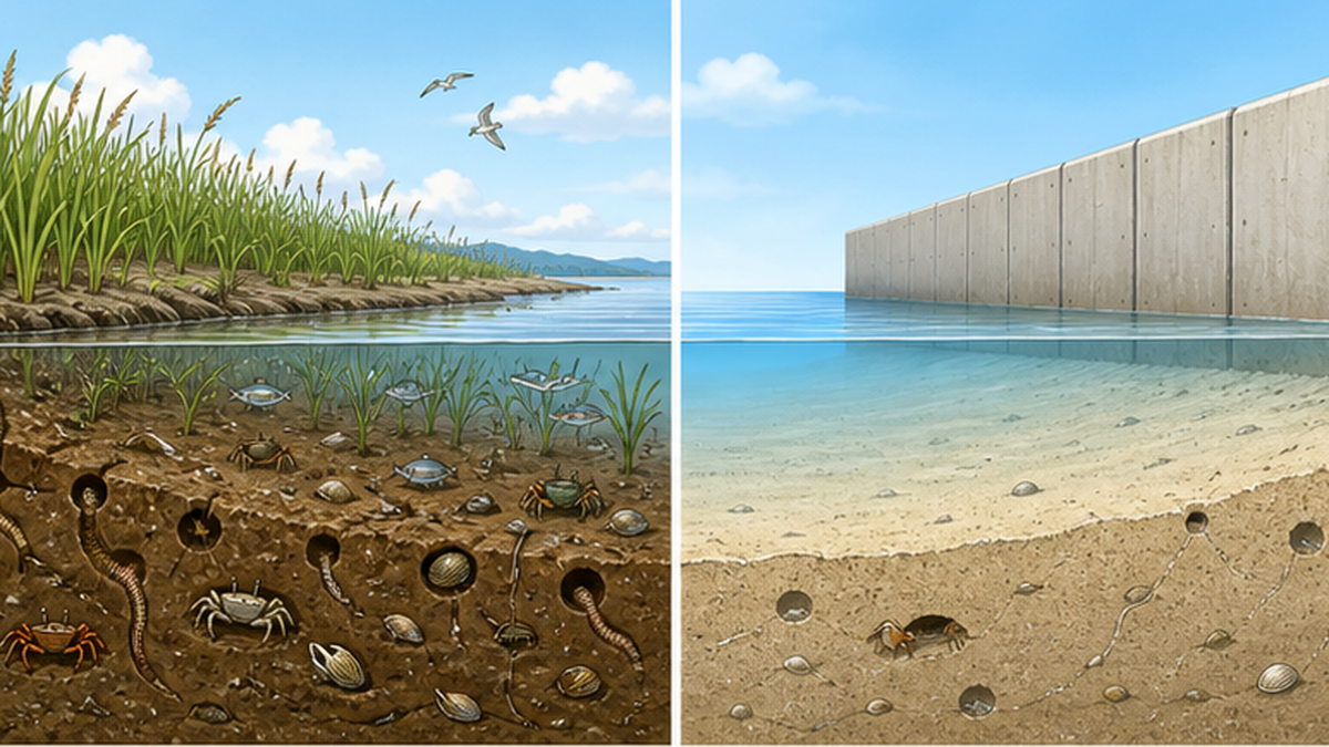
Artificial tidal flats, built from dredged port sediment, have been created at many sites through Ministry of Land, Infrastructure, Transport and Tourism port projects. Part of the modest recovery in Tokyo Bay's tidal flat area after 1978 comes from this construction. Yet artificial flats differ from natural ones in sediment grain size, groundwater seepage and connectivity with their surroundings, and cases have been reported where colonisation and productivity fall short.
- Sediment: a flat laid with uniform sand struggles to reproduce mud-loving species or communities that depend on a range of grain sizes
- Persistence: waves and currents wash the sand away, and continual nourishment is sometimes needed to maintain the flat
- Connectivity: without reed beds and salt marsh behind and seagrass beds in front, the site does not function as a complete ecosystem
- The logic of offsetting: trading 'we will build an artificial flat instead' does not necessarily deliver equivalent recovery of what was lost
The Nature Restoration Promotion Act as a framework
The Nature Restoration Promotion Act, passed in 2002, provides for councils in which government, residents, experts and NGOs take part on equal terms, driving restoration from the community up. The Nakaumi Nature Restoration Council (established 2007) and the restoration of the Fushino River estuary and tidal flats in Yamaguchi Prefecture operate under this framework. Progress is slow, but the novelty lies in writing the consensus-building process itself into the institution.
'30by30' and a shift in how value is assigned
Mechanisms for expressing the value of tidal flats in numbers are now taking shape. Under its National Biodiversity Strategy, Japan has adopted '30by30' — conserving at least 30 percent of land and sea by 2030 — and runs a scheme certifying areas managed by companies and municipalities as sites in harmony with nature. Markets that value the carbon absorbed by seagrass beds and tidal flats, such as the J Blue Credit, have also begun operating.
This is a direct answer to the root problem of the reclamation era: that the value never appeared in the numbers. Once keeping a tidal flat carries an economic valuation, the scales tip differently. Approaches such as the satoumi concept, which assumes human involvement in sustaining the sea's abundance, are being practised in many regions.
How to judge a restoration project
- Look at functional indicators — benthic species richness and biomass, bird counts — not area alone
- Check connectivity: is it linked to reed beds behind and seagrass beds in front?
- Ask whether it depends on continued maintenance; a design requiring perpetual sand nourishment is fragile
- See whether it is tied to local fisheries and use. A flat nobody uses soon loses its defenders
What we can do: put tidal flats back to use
The lesson of this history is that the places nobody cares about are the first to be filled in. Conversely, what stopped the plans at Fujimae and Sanbanze was people who kept visiting, kept counting the animals, and kept articulating the value.
Touch it, count it, tell others
- Visit a tidal flat near you: clam digging, rockpooling, guided walks. Check a tide table for spring low tides before you go. Fill in the holes you dig, and do not take more than you need
- Join a citizen survey: long-term monitoring such as the national shorebird counts under Monitoring Sites 1000 depends on volunteers, and the data informs policy decisions
- Read your local plans: port plans and reclamation licence notices are public information, and there are opportunities to submit comments
- Cut your waste: precisely the lesson of Fujimae. Less demand for disposal sites means less pressure to reclaim
- Buy tidal flat produce: buying local clams and nori supports the fisheries that keep the flats in use

Keeping a flat is far cheaper than getting one back
Set against the money and years already spent on restoring the Ariake Sea, the difficulty and cost of recovering a lost tidal flat, functions and all, are plain. Japan still has some 50,000 hectares of tidal flats. How that remainder is treated will decide the next fifty years.
Summary
- Japan's tidal flats fell from 82,621 ha in 1945 to 49,380 ha in 1996 — about 40 percent lost in half a century
- Most of the loss (28,765 ha) was concentrated in the high-growth years of 1945 to 1978; Tokyo Bay retained 18 percent and the eastern Bisan Strait just 10 percent
- The Ariake Sea still holds about 40 percent of Japan's flats, but the 'Ariake Sea anomaly' followed the 1997 Isahaya closure, and the courts settled the gate question against opening in 2023
- Losing tidal flats meant losing purification, fisheries (clams at a few percent of peak), migratory birds (38 percent of flyway populations declining), coastal defence and carbon storage all at once
- Between 1999 and 2002 plans were halted at Fujimae, Nakaumi and Sanbanze, and the Environmental Impact Assessment Act and Nature Restoration Promotion Act reset the direction
- Artificial flats are no complete substitute for natural ones, so protecting the roughly 50,000 hectares that remain is the surest and cheapest option
References and sources
- Ministry of the Environment, Japan – Decline of tidal flats, seagrass beds and coral reefs (trends in tidal flat area by sea area; National Survey on the Natural Environment, rounds 2 and 5)
- Fisheries Agency, Japan – The role and current state of tidal flats (multifunctional roles of fisheries)
- National Institute for Environmental Studies – Kankyogi No. 03, column on tidal flats, shallow waters and development
- Ministry of the Environment, Chubu Regional Environment Office – Conservation of the Fujimae tidal flat (cancellation of the landfill plan and Ramsar listing)
- Chiba Prefecture – Draft Sanbanze restoration plan, Chapter 1: the history of Sanbanze
- Ministry of the Environment, Japan – Committee for the Comprehensive Survey and Evaluation of the Ariake Sea and Yatsushiro Sea
- Ministry of Justice, Japan – Litigation concerning the Isahaya Bay reclamation (the gate-opening and objection proceedings)
- MLIT Kanto Regional Development Bureau, Chiba Port Office – Tokyo Bay marine environment creation project: conserving and restoring tidal flats
- Ministry of Agriculture, Forestry and Fisheries, Japan – Fisheries and aquaculture production statistics (trends in Manila clam landings)
- WWF Japan – Yellow Sea Ecoregion activity report (tidal flat loss and migratory birds along the Yellow Sea)
* Ordered by reliability: government and academic institutions > peer-reviewed papers > specialist bodies > trusted media