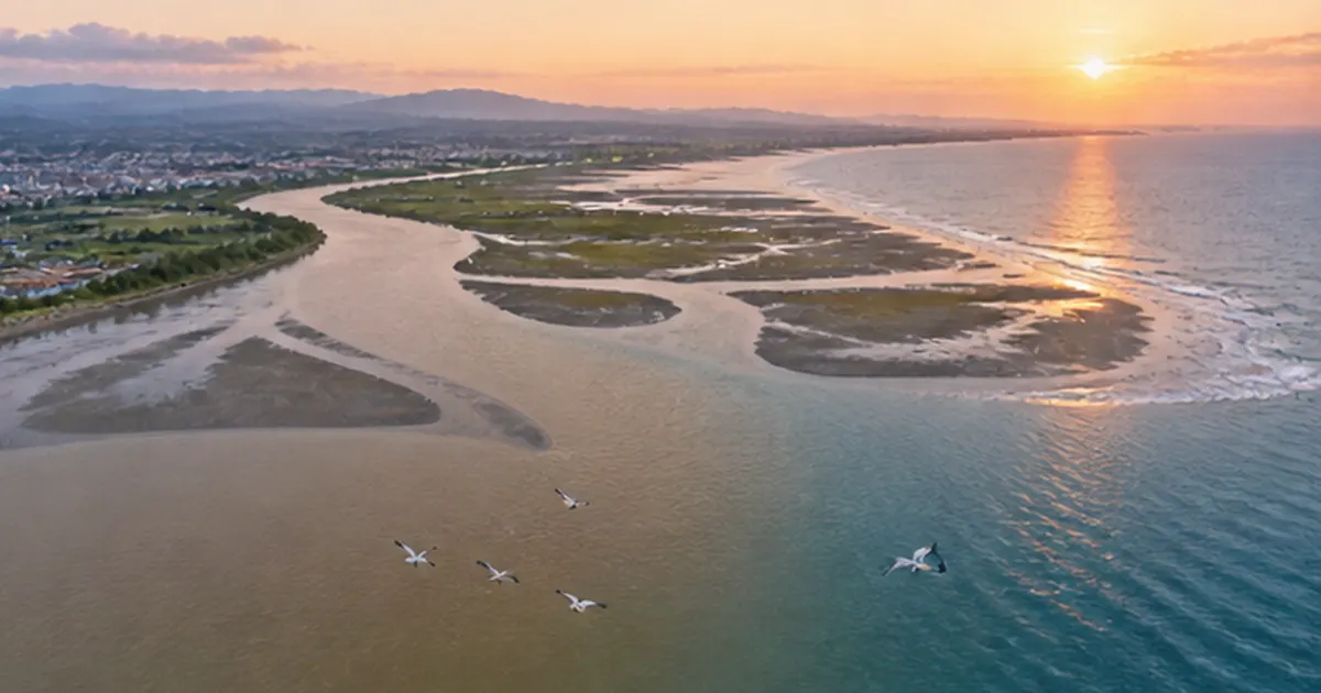
⚡ The answer in 30 seconds
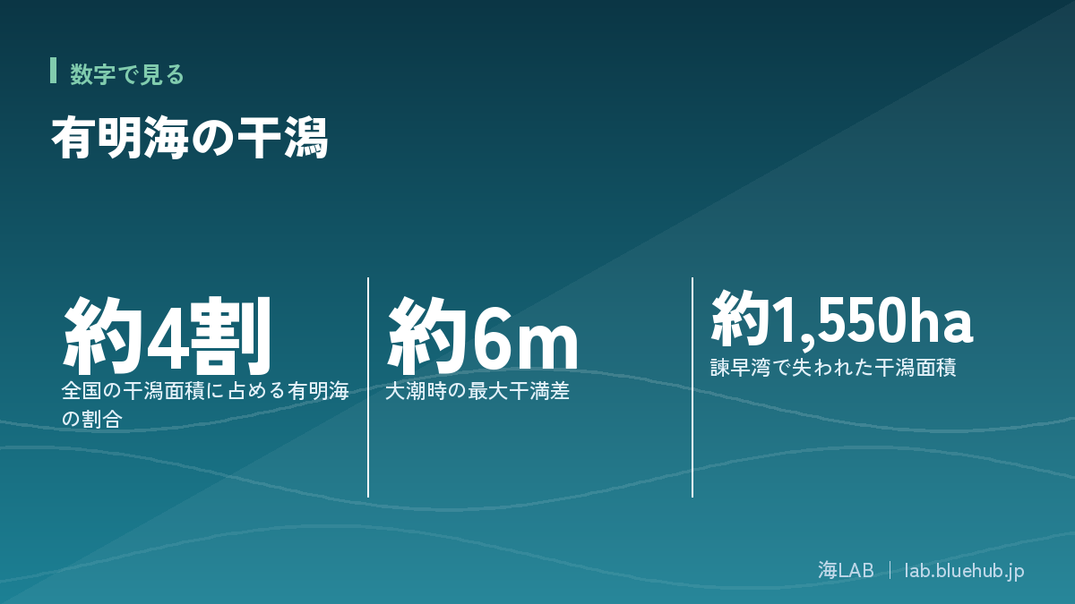
- The Ariake Sea holds about 40% of Japan's tidal flats, with a tidal range up to about 6 m, nurturing mud-flat ecosystems.
- Mudskippers and other unique species depend on mud flats, which purify water and support nori, shellfish and migratory birds.
- The 1997 closing of the Isahaya Bay embankment lost about 1,550 ha of tidal flat, and its link to fishery decline has long been debated.
- The current view is multiple factors. The Supreme Court finalized non-opening in 2023, and sand covering and other efforts continue.
The Ariake Sea's tidal flats make up about 40% of Japan's total, the largest mud-flat sea in the country.The tidal range reaches about 6 meters at spring tide, and this powerful tidal motion has nurtured mudskippers, fiddler crabs and countless shellfish.
In 1997 the tidal-embankment gates in the inner part of Isahaya Bay were closed and a broad tidal flat was lost. Calls to open the gates and opposition based on flood protection and farming stood side by side, and the lawsuits lasted until the Supreme Court decision in 2023.
This article organizes the value of the Ariake Sea tidal flats and the issues around the Isahaya Bay reclamation as evenhandedly as possible, based on public sources.
What you will learn
- Why the Ariake Sea has Japan's largest tidal flats
- How mudskippers and other unique species live
- How tidal flats purify water and support fisheries and migratory birds
- The history and issues of the Isahaya Bay reclamation project
- The course of the gate-opening lawsuits and the 2023 Supreme Court decision
- Conservation and restoration efforts on site
What kind of sea is the Ariake Sea? A bay with Japan's largest tidal flats
A "mud sea" holding about 40% of Japan's tidal flats
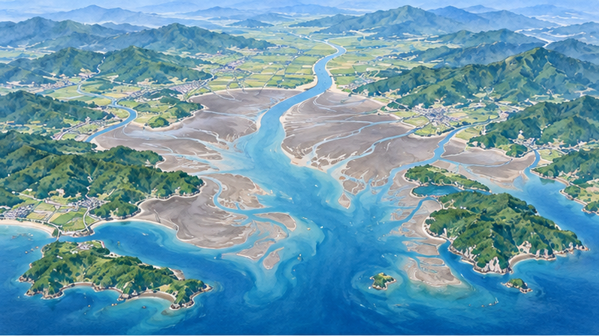
The Ariake Sea is a long, narrow inner bay surrounded by four prefectures of Kyushu: Fukuoka, Saga, Nagasaki and Kumamoto. Many rivers, including the Chikugo River, flow into its head, and the fine mud they carry has built broad tidal flats. In the Ministry of the Environment's national natural environment survey, the Ariake Sea's tidal flats were recorded at about 22,000 hectares in fiscal 1978, and about 40% of Japan's tidal flats are said to be concentrated here. That is why people say, "to talk about Japan's tidal flats, start with the Ariake Sea."
A tidal flat is a flat sand-or-mud area that appears when the tide goes out and is submerged when it comes in. Many Ariake Sea flats are "mud flats" of very fine particles, and in some places you sink almost to the knee. In this mud live microscopic algae (benthic diatoms), organic matter, and countless bottom-dwelling animals that feed on them.
Why the tidal range reaches about 6 meters
The Ariake Sea's most notable feature is a tidal range said to be Japan's largest. At spring tide the difference between high and low water reaches about 6 meters. Because the bay is long and narrow and opens to the southwest, the tidal wave from the open sea and the bay's natural oscillation period are close, which amplifies the change in water level. This great range washes the flats, which extend several kilometers offshore, every day and carries water and oxygen into the mud.
| Item | Details |
|---|---|
| Location | Inner bay surrounded by Fukuoka, Saga, Nagasaki and Kumamoto prefectures |
| Tidal flat area | About 20,000 hectares (about 40% of Japan) |
| Tidal range at spring tide | Up to about 6 m |
| Main rivers | Chikugo, Kase, Rokkaku, Kikuchi and others |
| Representative species | Mudskipper, eel goby (warasubo), fiddler crab, pen shell (taira-gi) |
The ecosystem tidal flats nurture: mudskippers and fiddler crabs
Mudskippers live in Japan only in the Ariake and Yatsushiro Seas
The star of the flats is the mudskipper, whose charming face pops up as it hops across the mud. It is a kind of goby and in Japan lives only in parts of the Ariake and Yatsushiro Seas. At high tide it stays in burrows dug in the mud; at low tide it comes out to eat the diatoms on the mud surface. Its hopping on its fins and its courtship jumps are a spring-to-summer sight.
The mudskipper is listed as a threatened species on the Ministry of the Environment's Red List. The loss of mud flats and changes in the muddy conditions needed for burrows are thought to affect its numbers.
Small residents of the mud
Besides the mudskipper, the Ariake flats hold many distinctive creatures: fiddler crabs that wave a large claw in courtship, the slender eel goby (warasubo) living in dark burrows, and bivalves such as the agemaki razor clam and the Hai-gai ark shell. Some are called "continental coastal relict species" found only in the Ariake Sea and nearby waters. They are remnants of the Ice Age when the area was joined to the continent, and are closely related to species of the Chinese coast.
- Mudskipper: a goby that eats algae on the mud surface
- Fiddler crab: the male has one enlarged claw that he waves as if beckoning the tide
- Eel goby (warasubo): a slender fish that lives in burrows and appears in Ariake food culture
- Agemaki and Hai-gai bivalves: Ariake specialties whose numbers have fallen sharply
The base of the food chain is "algae in the mud"
Tidal-flat productivity rests on microscopic algae such as benthic diatoms growing on the mud surface. Lugworms, shellfish and crabs eat them; mudskippers, fish and migratory birds eat those. Tidal flats are sometimes called the "kitchen of the sea" because producers and top predators are linked within a very small area.
Point: tidal-flat life depends strongly on mud quality
- Mudskippers need moderately soft mud for burrows
- Bivalves are sensitive to the oxygen content and grain size of the mud
- When mud quality changes, the base of the food chain is affected
What tidal flats do: cleaning water, supporting fisheries and migratory birds
A natural purification system
Tidal flats are called "natural water-treatment plants." Algae, bacteria and shellfish take up nutrients such as nitrogen and phosphorus flowing in from rivers, breaking them down in the mud or fixing them in shell bodies. Bivalves filter phytoplankton from seawater, so more of them helps keep the water clear. The key point is that when tidal flats decline, this purification capacity is lost at the same time.
A treasure house of fisheries: nori, shellfish, fish
The Ariake Sea is Japan's largest nori (laver) farming area, and Saga Prefecture in particular is among the top producers nationwide. Nori grows by absorbing nutrients, so the Ariake Sea, rich in river-borne nutrients, suited nori farming. Many other seafoods have also been landed, such as short-neck clams, pen shells, kuruma prawns, konoshiro gizzard shad and sole (kuchizoko).
A stopover for migratory birds
Tidal flats are valuable resting and feeding places for shorebirds migrating from Siberia and Alaska to Southeast Asia and Australia. In the Ariake Sea, dunlin, Eurasian curlew and Saunders's gull are seen, and the Ministry of the Environment and Wild Bird Society of Japan treat it as an internationally important site. For details see the article Shorebirds and the crisis of tidal flats as well.
- Dunlin: flock over the flats in large groups in winter
- Eurasian curlew: uses a long curved bill to catch crabs in burrows
- Saunders's gull: a winter visitor and one of the symbols of the Ariake Sea
What is the Isahaya Bay reclamation project? The 1997 closing of the tidal embankment
Purpose and history
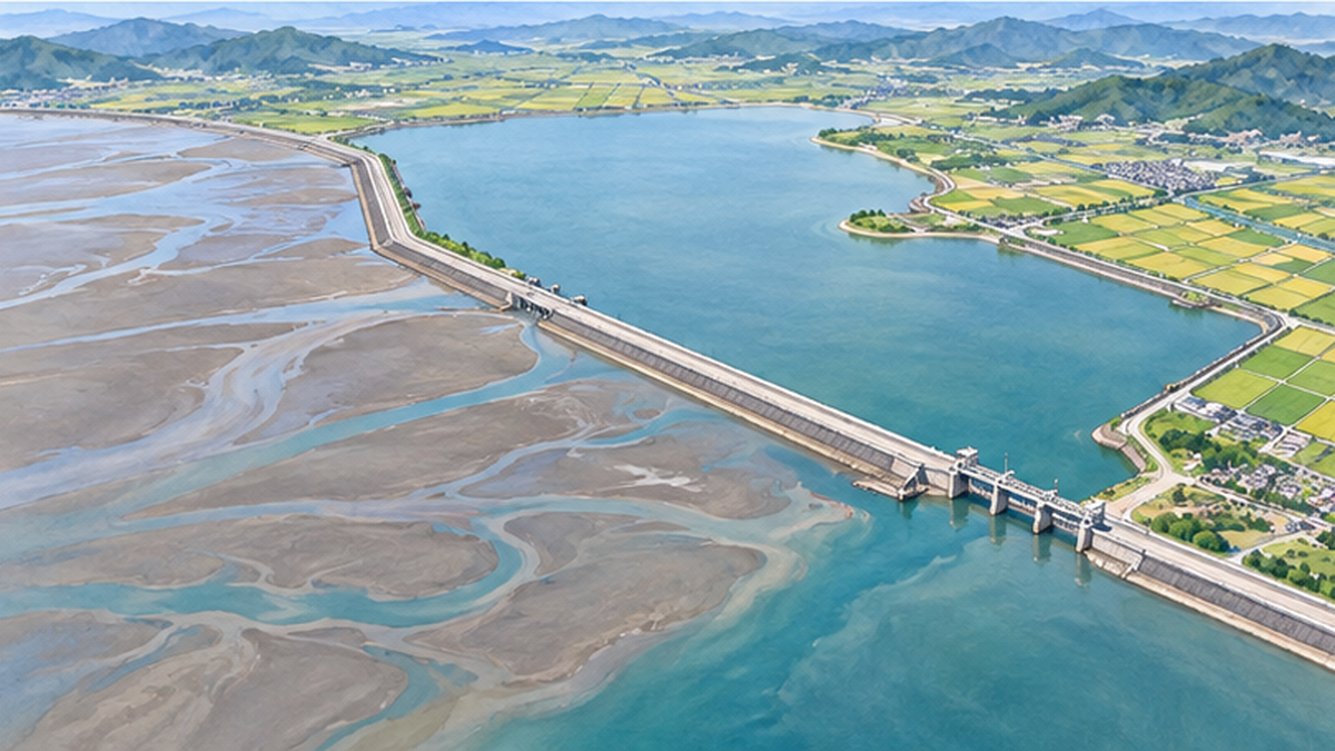
The Isahaya Bay reclamation project was a national project to close off the head of Isahaya Bay in Nagasaki Prefecture with an embankment, create farmland and improve disaster protection for low-lying land. The Isahaya region has a history of repeated flood and storm-surge damage, including the 1957 Isahaya flood. Construction began in 1989, and in April 1997 the gates of the tidal embankment, about 7 km long, were closed. Footage of steel plates dropping one after another led to its nickname "the guillotine," and it was reported nationwide.
Inside the embankment, a freshwater "regulating reservoir" and reclaimed farmland were created. According to the Ministry of Agriculture, Forestry and Fisheries, large-scale farming is carried out on the reclaimed land and the reservoir's water level is managed through the gates. Meanwhile the broad tidal flat at the head of Isahaya Bay was largely lost. Ministry of the Environment materials put the lost tidal flat area in Isahaya Bay at about 1,550 hectares.
| Year | Event |
|---|---|
| 1957 | Isahaya flood (background to flood protection) |
| 1989 | Construction of the Isahaya Bay project begins |
| 1997 | Tidal embankment closed (April) |
| 2002 | Special Measures Act for restoring the Ariake and Yatsushiro Seas takes effect |
| 2010 | Fukuoka High Court ruling ordering a five-year opening of the gates becomes final |
| 2023 | Supreme Court shows it will not allow opening; the Fukuoka High Court ruling is finalized (March) |
The flood-protection role of the embankment
The tidal embankment also protects low-lying land behind it from storm surge and floods. The Ministry of Agriculture, Forestry and Fisheries explains that the embankment and reservoir improved drainage during heavy rain and storm-surge protection. Many locals firmly hold that the embankment is needed for flood protection and farming. Ignoring this would show only one side of the issue.
What is happening: the fishery slump and the debate over causes
Anomalies in the Ariake Sea
A few years after the embankment was closed, especially after the poor 2000 nori harvest, the Ariake Sea's environmental decline became a social problem. Catches of bivalves such as short-neck clams and pen shells have since fallen over the long term, and from around 2012 pen-shell fishing has remained suspended in the main grounds of Saga and Fukuoka. Hypoxic water masses near the seabed in summer and red tides have also been reported repeatedly.
The mechanism of red tides and hypoxic water is explained in All about red tides, blue tides and eutrophication.
No single cause: the multiple-factor view
Views differ by standpoint on the cause of the Ariake Sea's decline. Fishers and some researchers argue that closing the embankment weakened tidal currents and tides, hindered mixing of seawater, and increased hypoxic water and red tides. The national Ariake and Yatsushiro Sea Assessment Committee, on the other hand, has concluded that several factors are involved in the decline of currents and the occurrence of hypoxic water, neither fully denying nor asserting an effect of the embankment.
- Loss of tidal flats and change in currents from the Isahaya reclamation
- Reduced sediment supply from rivers (dams, gravel extraction, bank protection)
- Muddying and finer grain of the seabed
- Climate factors such as rising water temperature and uneven rainfall
- Changes in acid-treatment agents used in nori farming and in the nutrient environment
Caution: do not conclude "it is only X"
- The current scientific picture is an overlap of multiple factors
- Opinions differ on how large the embankment's effect is
- Things look different from the standpoint of fishers, farmers and researchers
Open or keep closed? A long history of lawsuits and settlement talks
Contradictory rulings
On Isahaya Bay, fishers argued the gates should be opened to investigate effects, while farmers on the reclaimed land and local residents argued that opening would harm farming and flood protection, and the lawsuits dragged on. In December 2010 the Fukuoka High Court ordered the state to open the drainage gates for five years, and the ruling became final when the state did not appeal. Later, however, a suit by the farmers produced a judicial decision to block opening, leaving the state in the unusual position of bearing conflicting obligations.
The 2023 Supreme Court decision
In March 2022 the Fukuoka High Court ruled that compulsory enforcement of gate opening "shall not be allowed." An appeal against it was dismissed, and in March 2023 the Fukuoka High Court ruling became final by the Supreme Court. In a statement the Minister of Agriculture, Forestry and Fisheries expressed the view that the policy of not opening the gates had been confirmed in court. The obligation to open that the final judgment had ordered thus effectively no longer applies.
Toward dialogue: a fund plan for Ariake Sea recovery
Instead of opening the gates, the state has proposed measures funded by a fund for the recovery of the Ariake Sea as a whole, but fishers' reactions are divided. While dialogue and consensus-building continue, practical efforts on site to restore tidal flats and fishing grounds are advancing.
Protect and restore: conservation and efforts on site
Tidal flats registered as Ramsar wetlands
The Ariake Sea coast has tidal flats recognized as internationally important. Arao Tidal Flat in Kumamoto was registered as a Ramsar wetland in 2012, and Higashiyoka Tidal Flat and Hizen-Kashima Tidal Flat in Saga in 2015. At registered sites the aim is not only protecting migratory birds but coexistence with local fisheries and tourism (wise use). For details see What are Ramsar wetlands?.
Sand covering, channel digging and shellfish protection
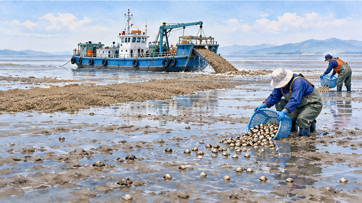
To improve fishing grounds, the national and prefectural governments carry out "sand covering (fukusa)," laying sand on the muddy seabed to make it habitable for shellfish, and "channel digging (sakurei)," cutting grooves in the seabed to improve water flow. Protection of juvenile shellfish and release of artificially raised shellfish are also under way. Verifying their effect and continuing them remain challenges.
What we can do
- Choose nori, shellfish and fish from the Ariake Sea (support local fisheries)
- Take part in tidal-flat observation events and clean-ups
- Visit the flats to watch birds in migration seasons (spring, autumn, winter)
- Reduce litter in nearby rivers and the sea (see also the article on Tidal flat conservation too)
What you can do today
- Check the origin labels on Ariake seafood and nori packages
- Look for a tidal-flat or wetland observation event near you
- Learn the history of tidal flats: Why were tidal flats reclaimed?
Summary: thinking about the value of tidal flats beyond positions
The Ariake Sea's tidal flats have nurtured unique creatures such as mudskippers and fiddler crabs, cleaned the water, supported nori and shellfish fisheries, and aided migratory birds. The Isahaya Bay project had important aims of flood protection and farming, but it also caused a large loss of tidal flats and became the focus of a long dispute over environment and fisheries. Assessments of the cause still differ, but the starting point is to share the understanding that "multiple factors overlap" and keep talking based on facts.
Summary of this article
- The Ariake Sea is an inner bay holding about 40% of Japan's tidal flats, with a tidal range up to about 6 m
- Mudskippers and other unique species depend on the mud flats
- Tidal flats support purification, fisheries and migratory birds
- Isahaya reclamation closed the tidal embankment in 1997, losing about 1,550 ha of tidal flat
- The cause is understood as multiple factors; the Supreme Court finalized non-opening in 2023
- Efforts such as sand covering, conservation and Ramsar registration are progressing
References and sources
- Ministry of the Environment: Ariake and Yatsushiro Sea Assessment Committee – Assessment of recovery of the Ariake and Yatsushiro Seas
- Ministry of the Environment: National Natural Environment Survey, tidal flats – Trends in tidal flat area
- MAFF: Isahaya Bay reclamation project – Project overview and gate-opening issue
- MAFF: Minister's statement (March 2023) – Statement on the Supreme Court decision
- Ministry of the Environment: Assessment Committee materials – Materials on tidal flat area trends
- Sasakawa Peace Foundation Ocean Newsletter – Explanation of Ariake Sea tidal flats
- Ministry of the Environment: Ramsar sites – Arao, Higashiyoka and Hizen-Kashima tidal flats
- Wild Bird Society of Japan: Important Bird Areas (IBA) – Ariake Sea IBA
* Ordered by reliability: government and academic institutions > peer-reviewed papers > specialist organizations > reliable media