⚡ The answer in 30 seconds
- Submarine groundwater is rain that travels underground and wells up from the seabed, a nutrient route to coastal seas alongside rivers.
- In Obama Bay, Fukui Prefecture, groundwater delivered 4–19 times the nutrient input of river water.
- Overpumping causes salinization and spring decline and may affect nutrient supply to the sea, so watershed-wide conservation matters.
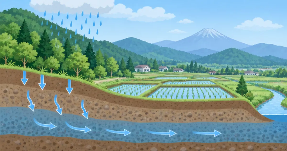
Not all rain that falls on mountains flows to the sea through rivers. A good deal soaks into the ground, travels slowly underground, and wells up along the shore and seabed. This submarine groundwater is an important water pathway that nurtures coastal seas.
In Obama Bay, Fukui Prefecture, groundwater carried 4–19 times the nutrients of river water, and most of it emerged offshore deeper than 10 m. Invisible water supports the richness of the sea.
Yet pumping too much groundwater causes salinization and spring depletion. This article explains submarine groundwater, the protection of famous waters and groundwater management, centered on the link with the sea.
What you will learn in this article
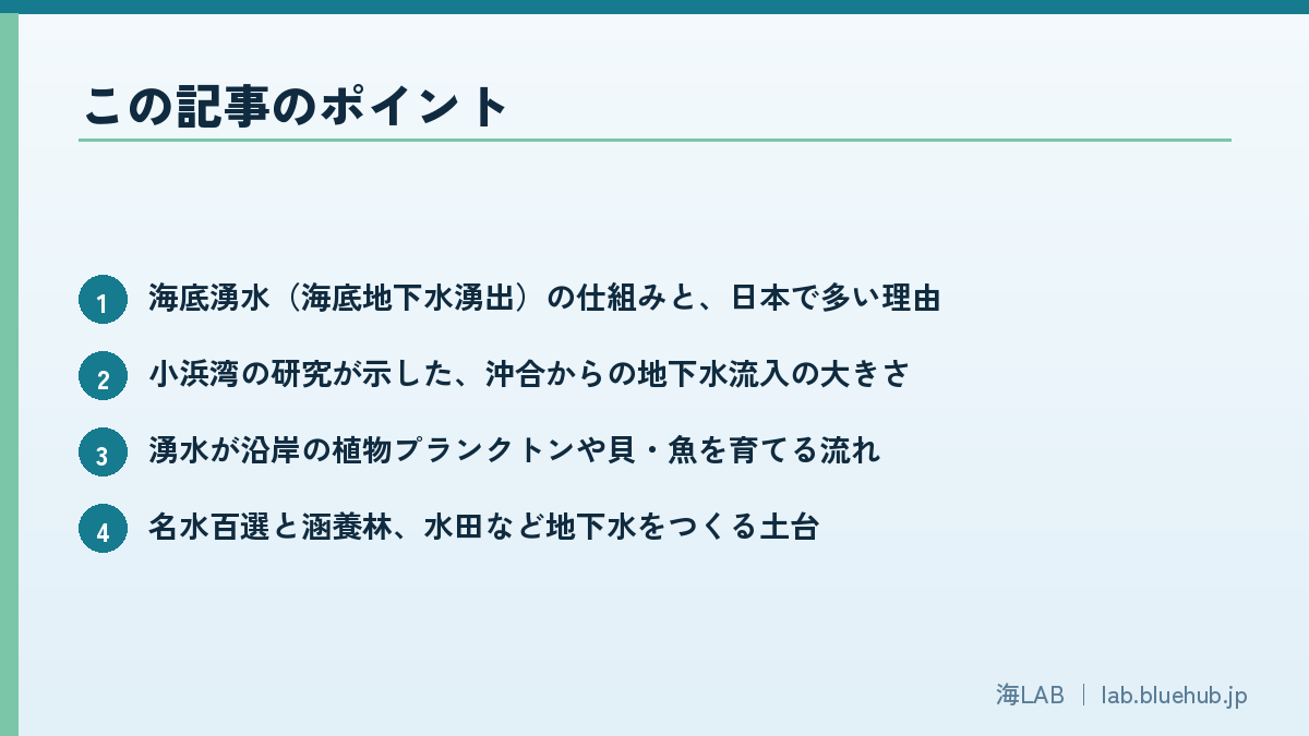
- How submarine groundwater discharge works and why it is common in Japan
- How large offshore groundwater inflow is, per the Obama Bay study
- How springs nurture phytoplankton, shellfish and fish
- The foundations of groundwater: famous waters, recharge forests and paddies
- Salinization from overpumping and the idea of groundwater management
What Is Submarine Groundwater Discharge? The Invisible "Second River"
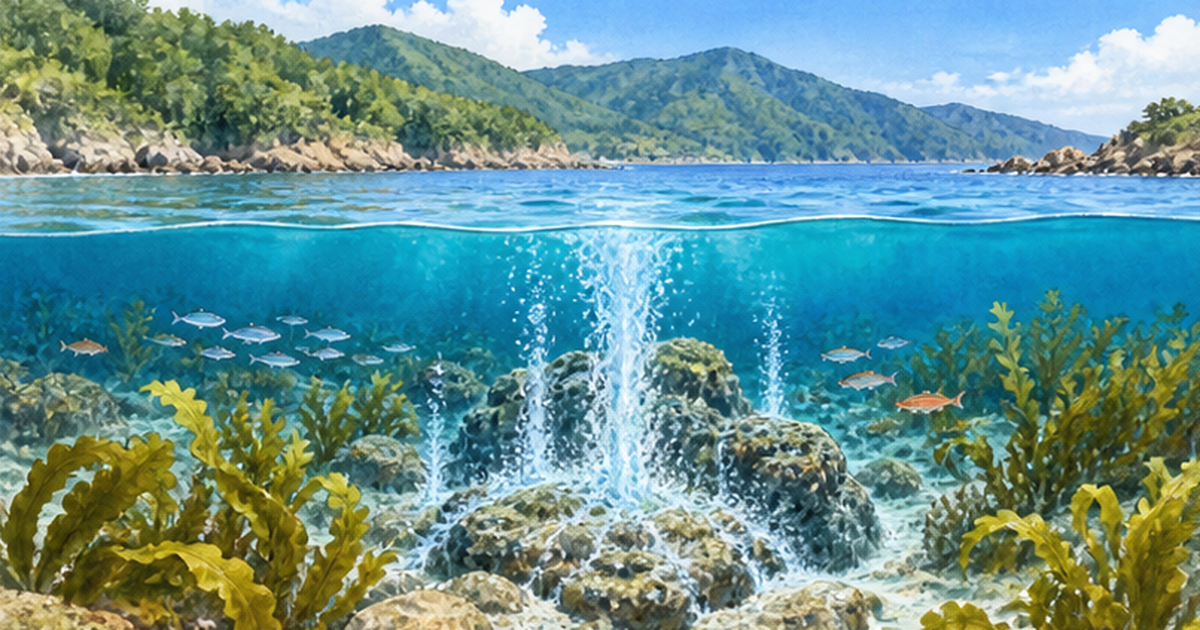
Have you ever seen fresh water seeping out of a sandy beach at low tide? That is groundwater from the land flowing out to the sea. Groundwater that leaves through the seabed or shoreline is called submarine groundwater discharge (SGD). Because it is not a visible stream like a river, it was long overlooked, but recent research shows it is an important pathway that nourishes coastal seas.
Definition and mechanism
Rain and snowmelt soak into the ground and move slowly through the gaps in soil and rock (aquifers). Part of it crosses the shoreline and wells up through sand and rock fractures on the seabed. The discharge includes not only fresh water but also seawater that has entered the ground and been recirculated. Research therefore stresses evaluating the freshwater and saline components separately.
- Fresh groundwater: derived from rain on land; carries nutrients such as nitrogen, phosphorus and silicon
- Recirculated seawater: seawater whose chemistry changes as it passes through beach sand and seabed sediments
- Where it occurs: from intertidal beaches to the offshore seafloor
Why Japan is called a groundwater-discharge hotspot
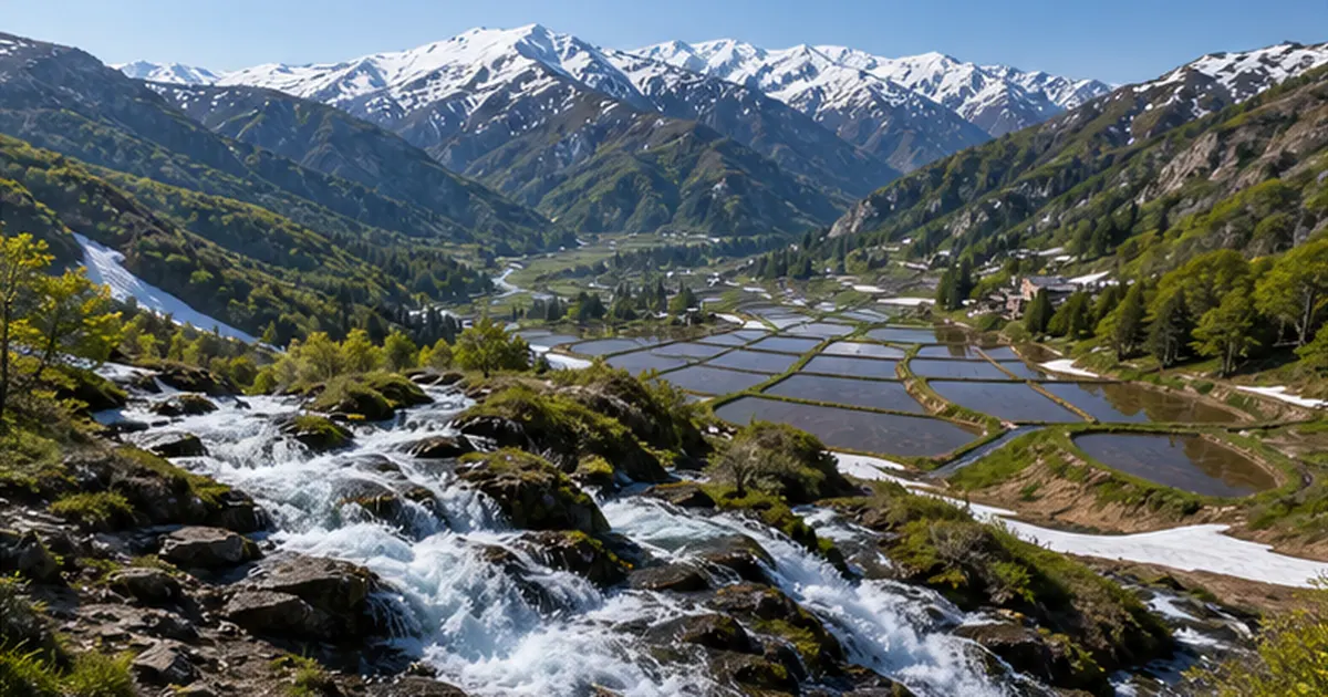
The Japanese archipelago has a humid climate with abundant rain, steep terrain, and permeable geology such as volcanic areas and gravel layers. Large rivers also develop less easily on islands, so groundwater makes up a relatively large share of the water reaching the sea. For these reasons Japan is considered one of the countries where groundwater flows readily into the ocean.
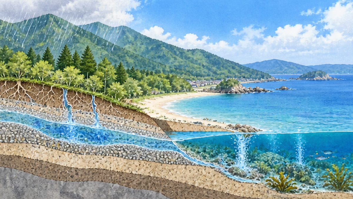
What this article covers
This article explains how submarine groundwater supports coastal ecosystems, how Japan conserves its famous springs, and how excessive pumping causes salinization. For related topics, see Where Does Groundwater Come From? and Headwater Forests and the Water Cycle.
How is it measured?
Because SGD is invisible, scientists need clever methods. One is to use naturally occurring radioactive substances (radon and radium), which are abundant in groundwater but scarce in seawater; measuring them in seawater lets researchers estimate how much groundwater is entering. Others include seepage meters placed on the seabed and observations of small differences in salinity and temperature.
- Radon/radium method: measures groundwater-specific substances in seawater to estimate inflow
- Seepage meter: a dome placed on the seabed that collects discharging water directly
- Salinity and temperature surveys: spot seeps by their difference from surrounding seawater
Advances in these methods have gradually made it possible to put numbers on the scale of SGD.
Why separate fresh and saline components?
Separating fresh groundwater from recirculated seawater reveals whether nutrients come from land or are merely cycling within the sea. In the Obama Bay study, about 97% of the fresh groundwater discharge occurred offshore, showing that water from land reaches farther out than expected.
Nutrients Carried by Groundwater: Rivaling the Rivers
Marine life needs nutrients used by phytoplankton and seaweeds. Rivers were long considered the main source, but as SGD research advanced, studies showed that in some sea areas groundwater carries as much material as rivers, or more.
Nitrogen, phosphorus and silicon
As groundwater passes through forest soils, farmland and cities, it dissolves many substances. SGD is an important route for nitrogen, phosphorus and silicon, and global assessments report nutrient supply equal to or greater than that of rivers (as summarized in the Bulletin of the Japanese Society of Fisheries Science). Silicon in particular is the material for diatom shells and underpins the base of the food web.
What the Obama Bay study showed about offshore areas
Professor Ryo Sugimoto of Fukui Prefectural University and colleagues studied Obama Bay in Wakasa Bay, using radon and radium as tracers. Their findings, published in 2023 in Science of The Total Environment, are as follows.
| Item | Finding |
|---|---|
| Total groundwater inflow | About 10 times the river water |
| Nutrient (N, P, Si) supply | 4 to 19 times the river water |
| Where inflow occurred | About 85% in offshore areas deeper than 10 m |
| Fresh groundwater only | About 97% discharged offshore |
Past surveys tended to focus on shallow, accessible shores. This study is important because it showed that large amounts of groundwater emerge from the hard-to-see offshore seafloor. A re-analysis of 53 sea areas worldwide also reportedly confirmed that offshore inflow tends to exceed that of shallow areas.
Key points
- SGD is a second land-to-sea nutrient route alongside rivers
- In Japan, some sea areas have large discharge from offshore seafloor
- The quality (balance of N, P and Si) of nutrients also matters
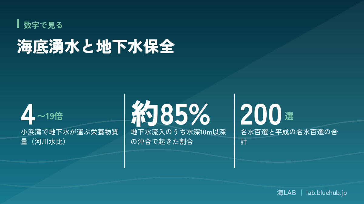
The nutrient-balance perspective
Not only quantity matters. When the ratio of nitrogen, phosphorus and silicon changes, the species of phytoplankton that grow also change. With enough silicon, shell-forming diatoms increase, and these tend to be favored food for bivalves and small zooplankton. If nitrogen and phosphorus are excessive and silicon is scarce, harmful algae can increase. Because groundwater carries silicon dissolved from rocks, it may help balance the nutrients in the sea.
Carrying human impacts too
Groundwater does not carry only good things. Nitrogen from excess fertilizer, domestic wastewater and pollutants from factories or landfills can soak underground and eventually reach the sea. Because groundwater moves slowly, it can take years to decades for contamination to surface, and recovery is slow. Protecting SGD means reviewing land use.
Things to keep in mind
- Groundwater flows slowly, so pollution reaches the sea after a long delay
- Fertilizer and wastewater management on land can affect coastal seas years to decades later
- Both quantity and quality of springs need long-term monitoring
Springs Nurturing Coastal Ecosystems: From Plankton to Benthos
Around submarine springs, temperature, salinity and nutrients differ slightly from the surroundings, creating special places where distinctive life can thrive.
Phytoplankton and seaweeds
When nutrients are supplied, phytoplankton grow more readily. Reports describe many cases of positive effects on phytoplankton, meiobenthos (tiny organisms living between sand and mud grains) and benthic animals. But excess nutrients can cause red tides and oxygen depletion, so the right amount and quality is what matters. See also Nutrient Runoff and Eutrophication.
Food chains of shellfish and fish
Phytoplankton and benthic algae feed bivalves and small crustaceans, which in turn feed fish. Fishers across Japan have long said that places where springs emerge make good fishing grounds or good conditions for oysters.
What "The Forest Is the Sea's Lover" teaches
The tree-planting movement "The Forest Is the Sea's Lover," started in 1989 by oyster farmer Shigeatsu Hatakeyama of Kesennuma, Miyagi Prefecture, spread the idea that nutrients carried from forests via rivers and groundwater nurture the sea's bounty. Its core is to see mountains and sea as a single water cycle, including the paths of water underground.
- Forest soil stores water and slowly turns it into groundwater
- Groundwater dissolves minerals and iron and carries them to the sea
- Coastal plankton, seaweeds, shellfish and fish grow
Seagrass beds, tidal flats and coral reefs
Springs with moderate nutrients can support seagrass beds, seaweed beds and tidal-flat benthos. Because seaweed beds are spawning and nursery grounds, life sometimes gathers around springs. On coral-reef islands too, groundwater inflow affects reef environments, and research manages land and sea as one. See also Eelgrass Beds and Juvenile Fish.
Forest and sea are connected underground, too.
― An idea emerging from submarine groundwater research
Local environments created by springs
Where springs emerge, cooler and less salty water forms a small refuge with a stable environment through the seasons. Even in sea areas suffering prolonged high summer temperatures, the waters around a spring may stay cooler, offering animals a place to escape. As ocean temperatures rise with climate change, such places are drawing attention as valuable refuges.
Japan's Springs and Famous Waters: Water Protected by Communities
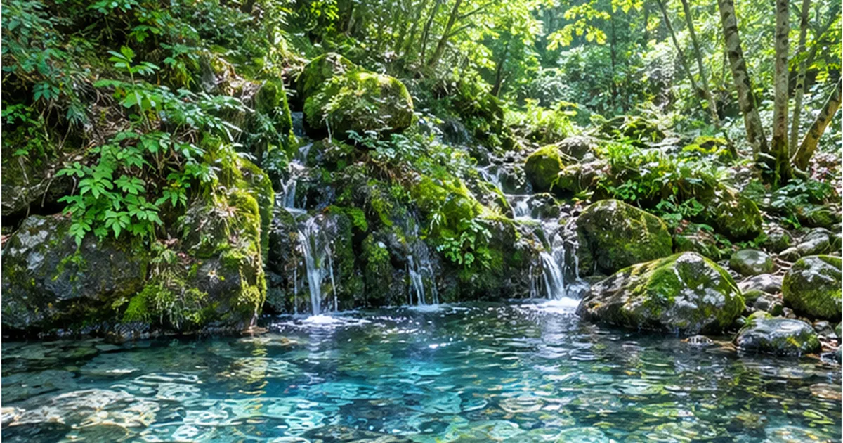
Before reaching the sea, groundwater emerges as springs that support daily life across Japan: drinking water, irrigation, tofu and sake making, and sacred places.
The 100 Famous Waters and the Heisei 100 Famous Waters
In 1985 the Environment Agency (now the Ministry of the Environment) selected 100 springs, rivers and groundwater sites as the "100 Famous Waters of Japan." In 2008 another 100 were selected as the "Heisei 100 Famous Waters," with no overlap, making 200 in total. Selection required good conservation status and conservation activities by local residents, the latter being especially emphasized for the Heisei selection.
Famous waters by the numbers
- 100 Famous Waters: selected 1985, 100 sites
- Heisei 100 Famous Waters: selected 2008, 100 sites
- 200 in total (no overlap)
Springs are connected to the sea
Part of the water that wells up at mountain foothills joins rivers flowing to the sea, and part travels underground and emerges from the coastal seabed. Protecting famous waters therefore also protects nutrient conditions in the downstream sea. See Springs of Japan.
Who protects springs
Spring conservation rests on steady community efforts: cleaning, water-quality surveys, forest-making around the source, and environmental education. Because water flow is hard to see, imagining the journey of water from a familiar spring is the first step toward conservation.
Springs in local life and culture
Many Japanese towns grew around springs. Because spring water stays at a stable temperature all year, it feels cool in summer and warm in winter and was used to chill vegetables and wash things. Sake breweries, tofu makers and wasabi fields rely on clean spring water. Shrines near springs reflect a culture that treats water as sacred. See Water and Shrine Culture.
Why springs decrease
Causes include urbanization that stops rain from soaking in, loss of forests and farmland, excessive pumping, and underground construction that alters groundwater paths. In cities, springs that once flowed have dried up, and the few remaining are local treasures. See Urban Waterfront Environments.
| Cause of decline | Effect |
|---|---|
| Urbanization (paving, buildings) | Rain cannot soak in; recharge falls |
| Loss of forests and paddies | Water-storing ability weakens |
| Excessive pumping | Water table drops and springs dry up |
| Underground construction | Groundwater paths change |
Recharge Forests and Headwater Woods: The Foundation of Groundwater
Groundwater does not simply appear from the sky. It needs ground surfaces that catch rain and let it soak in slowly. Forests, farmland and especially paddy fields are typical examples.
The sponge function of forest soil
Forest soil has a fluffy structure created by fallen leaves, roots and soil animals, which temporarily stores rain and sends it slowly downward. This is called the water-source recharge function. In neglected plantations the soil hardens and infiltration weakens, so thinning is important. See Headwater Forests and the Water Cycle.
The role of paddies and farmland
Flooded paddies are known to replenish groundwater. In the Kumamoto area, efforts to flood paddies for groundwater recharge have spread. Loss of farmland and housing development can reduce recharge.
Coastal forests protect the sea
Forests near the coast (fish-breeding forests and coastal forests) are thought to regulate the flow of sediment and nutrients. See also Coastal Forest Restoration.
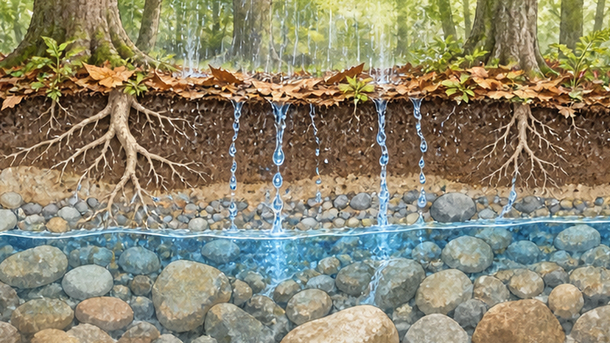
Thinning plantations and recharge
Cedar and cypress plantations planted after the war darken inside if not tended, and undergrowth disappears. Raindrops then hit bare soil, the surface hardens, and water infiltrates poorly. Thinning lets light in, undergrowth and leaf litter increase, and soil recovers its infiltration capacity. Tending headwater forests is a reliable way to protect groundwater and springs.
Mixed broadleaf forests
Forests mixed with broadleaf trees tend to have more diverse root systems and richer soil structure than pure conifer forests. Some regions are guiding forests toward mixed stands to protect water sources.
Three foundations of recharge
- Forests: fallen leaves and roots act as a sponge
- Paddies: flooding replenishes groundwater
- Parks, green space and infiltration inlets: return rain to the ground in cities
Overpumping and Salinization: What Happens When We Pump Too Much
Groundwater is a convenient resource, but pumping beyond the recharge rate causes problems. Near the sea, a particular concern is salinization.
Saltwater wedge and freshwater lens
Near the coast, lighter fresh water floats on heavier seawater underground. The flow of fresh water from land toward the sea (hydraulic head) holds back seawater intrusion. If the fresh water table is 1 m above sea level, the fresh layer beneath is roughly 40 m thick (the Ghyben-Herzberg relation). A small drop in the water table therefore thins the freshwater layer dramatically.
The Ghyben-Herzberg relation
- Seawater is about 2.5% denser than fresh water
- A 1 m fall in the fresh water level thins the fresh layer by about 40 m
- A small drop in the water table has a large effect
Groundwater problems in Japan
In the 1960s, excessive pumping caused widespread land subsidence and groundwater salinization across Japan. Once salinized, groundwater takes a long time to recover naturally. The Ministry of the Environment has therefore issued a "Groundwater Conservation" guideline to prevent subsidence, contamination and salinization and to secure good groundwater environments including ecosystems.
Impact on the sea
Pumping too much groundwater reduces the amount flowing from land to sea, which may weaken nutrient supply through SGD. Groundwater conservation matters not only for water supply and agriculture but also for coastal seas.
| Problem | What happens | Example measures |
|---|---|---|
| Salinization | Salt enters wells, making water unusable for drinking or irrigation | Pumping limits, water-table monitoring |
| Land subsidence | Ground sinks, raising flood and building damage risk | Pumping regulation, alternative sources |
| Spring depletion | Springs shrink, reducing supply to rivers and sea | Protect recharge areas, paddy recharge |
| Changes in nutrient supply to the sea | May affect coastal productivity and ecosystems | Watershed-wide water-cycle management |
Coastal examples
In a coastal farming area that has long used well water, increased pumping can raise salinity and affect crops. Such areas regularly measure water level and chloride concentration and restrict pumping once thresholds are exceeded. On islands, the freshwater lens formed by rain may be the only source, and small increases in pumping can degrade quality quickly, calling for careful management.
Climate change and sea-level rise
Sea-level rise pushes the freshwater-saltwater boundary inland and may worsen coastal salinization. If changes in rainfall reduce recharge, the same pumping has bigger effects. See Sea-Level Rise on Japan's Coasts.
Good to know
- Once salinization advances, recovery takes many years
- Sea-level rise and drought may raise the risk
- Early monitoring and pumping rules prevent damage
Groundwater Management: The Water Cycle Basic Act and Watershed Efforts
Overuse of groundwater affects other people's wells, springs and even the sea. That is why community-wide "groundwater management" is needed.
The Water Cycle Basic Act
The Basic Act on the Water Cycle was enacted in 2014, and the Basic Plan on the Water Cycle was approved by the Cabinet in 2015. The plan positions sustainable conservation and use of groundwater and aims at efficient, effective management across the whole region.
How groundwater management works
Groundwater management means stakeholders form a forum, share the current state (water level, quality, use) and agree on rules for use and conservation. The Cabinet Secretariat and the Ministry of Land, Infrastructure, Transport and Tourism publish concepts and cases.
- Survey the state of groundwater (level, quality, use)
- Share issues and goals among stakeholders (set up a council)
- Decide targets and rules for pumping and recharge
- Monitor continuously and review
Bringing the sea into the picture
Future groundwater management must consider not only freshwater use but also the "gift to the sea" of nutrient supply to coastal ecosystems. As techniques that evaluate offshore discharge, like the Obama Bay study, develop, managing the water that links land and sea will advance.
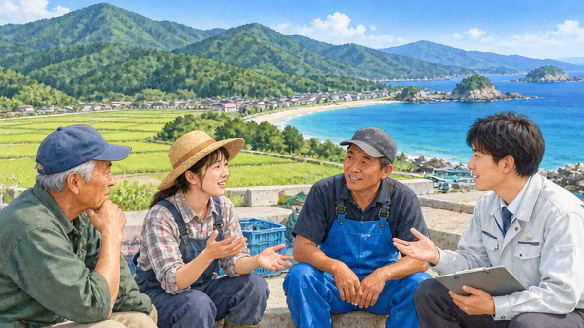
Citizen monitoring and conservation
Expert observation alone is not enough. Residents and schools regularly recording well levels, water temperature, spring flow and clarity are a powerful way to notice change, and long-term citizen data helps administrators and researchers. See Citizen Science in Japan.
Challenges ahead
- Techniques and systems to measure offshore SGD continuously over wider areas
- A framework to evaluate groundwater use, quality and outflow to the sea together
- Management plans reflecting changing rainfall and sea-level conditions
- Long-term assessment of fertilizer and wastewater reaching the sea via groundwater
What We Can Do: Thinking About the Journey of Water
Protecting groundwater and SGD is not only for experts and governments. There are things we can do in daily life.
Know and visit nearby springs
Start by looking up springs and famous waters in your area. The Ministry of the Environment's famous-waters portal compiles information on sites nationwide. Visiting and touching the water is the entrance to caring about it.
Use water carefully
Saving water reduces pumping. See Water-Saving Technologies for ideas.
Join forest, cleanup and learning activities
Tree planting, thinning experiences, river and beach cleanups and environmental learning events are concrete ways to join in protecting the water cycle. Activities such as beach cleanups help you feel the link between land and sea.
What you can do today
- Look up springs and famous waters near you
- Avoid leaving water running while brushing teeth or showering
- Join local forest-making or beach-cleanup events
- If you use a well, watch for changes in water level and saltiness
Connecting to ocean learning
Springs are an excellent teaching tool linking the water cycle and ocean science. Visit a nearby spring with children, measure temperature and clarity, and ask, "Where does this water come from and where does it go?" Imagining the journey from mountain to river to groundwater to sea makes marine environmental issues feel like an extension of daily life. See Ocean Literacy Education.
Looking at invisible water builds the ability to notice invisible changes in the sea. Try imagining where today's glass of water is headed.
References and sources
- Fukui Prefectural University: Groundwater outflow offshore of Obama Bay shown to be important – Announcement of Obama Bay groundwater study (2023)
- Bulletin of the Japanese Society of Fisheries Science: Nutrient supply to sea areas by submarine groundwater discharge – Naomi Honda (2016)
- Mie Prefectural Assembly materials: Efforts to conserve submarine groundwater for a rich sea – Explanatory materials by Ryo Sugimoto, Fukui Prefectural University
- Ministry of the Environment: Famous Waters Portal – 100 Famous Waters and Heisei 100 Famous Waters
- Ministry of the Environment: Groundwater Conservation Guideline – Preventing groundwater damage and sustainable use
- Cabinet Secretariat: What is groundwater management? – Water Cycle Policy Headquarters Secretariat
- MLIT: Water resources: groundwater management – Groundwater management initiatives
- EIC Net: Environmental glossary "Salinization" – Explanation of salinization
- Japanese Geotechnical Society Chugoku Branch: Groundwater flow and saltwater wedge in coastal areas – Explanation of the saltwater wedge
* Listed in order of reliability: government and academic institutions > peer-reviewed papers > specialist organizations > reliable media