⚡ The answer in 30 seconds
- A salt marsh is a grassland of halophytes and reed in the upper intertidal zone, flooded at high tide and continuous with tidal flats on the landward side.
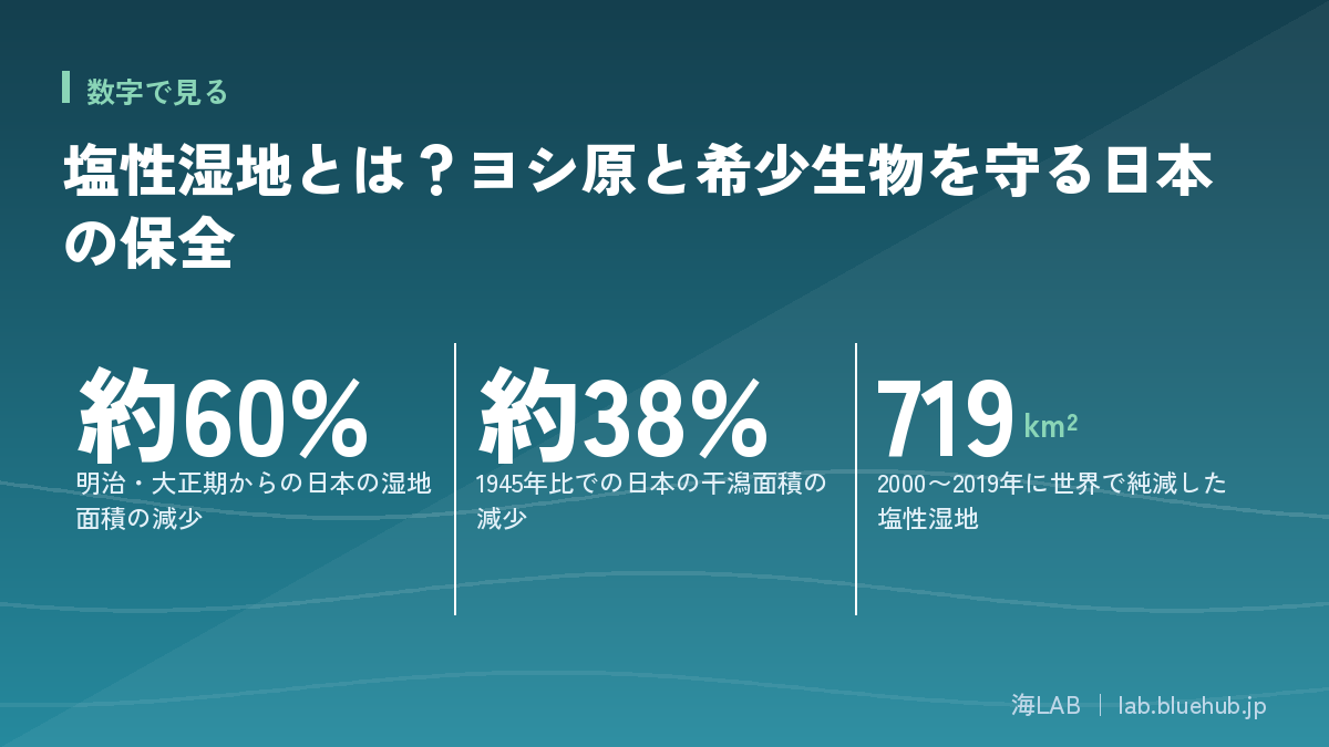
- Japan's wetlands have fallen about 60% since the Meiji–Taisho era and tidal flats about 38% compared with 1945 (MLIT materials).
- They are habitat for birds, fiddler crabs and shellfish, and also purify water, soften waves and store carbon.
- The keys to protection are sediment supply, reed-bed management and keeping room to retreat inland.
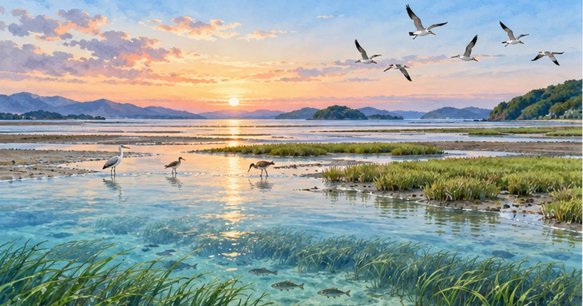
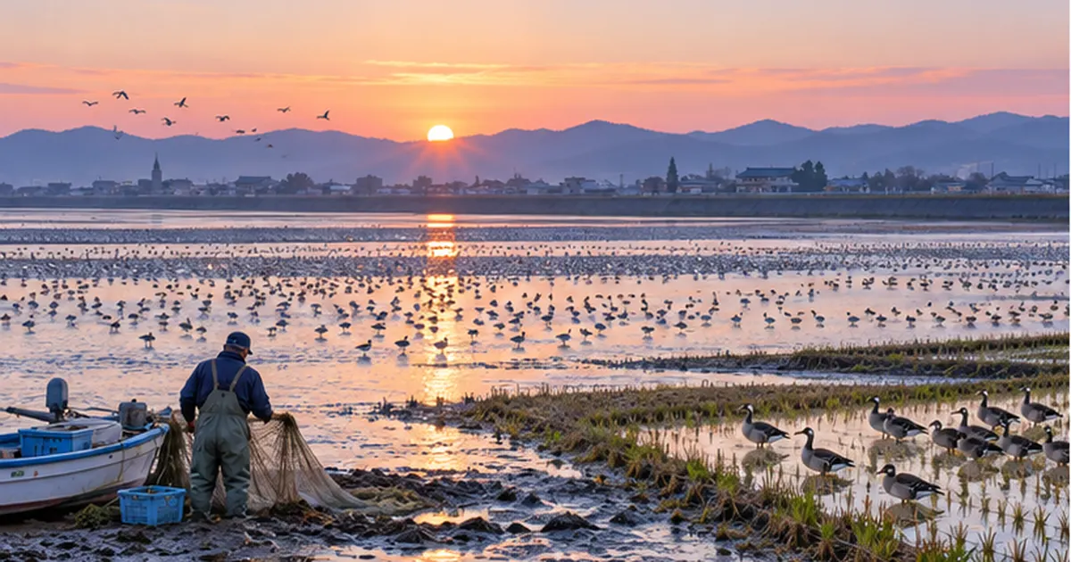
Salt marshesare salt-washed grasslands that lie between tidal flats and dry land. Only a small area remains in Japan, but they nurture rare birds, crabs and shellfish, purify water and soften waves.
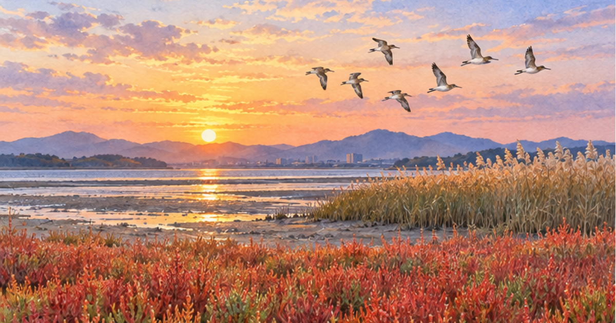
Autumn-reddening shichimensō, reed beds spreading across river mouths, fiddler crabs digging into the mud. Behind these familiar scenes lies an elaborate system created by "salinity," "flooding," and "sediment accumulation."
This article summarizes, based on public documents and research, how salt marshes form, how they have declined in Japan and worldwide, conservation and restoration efforts, and preparation for climate change.
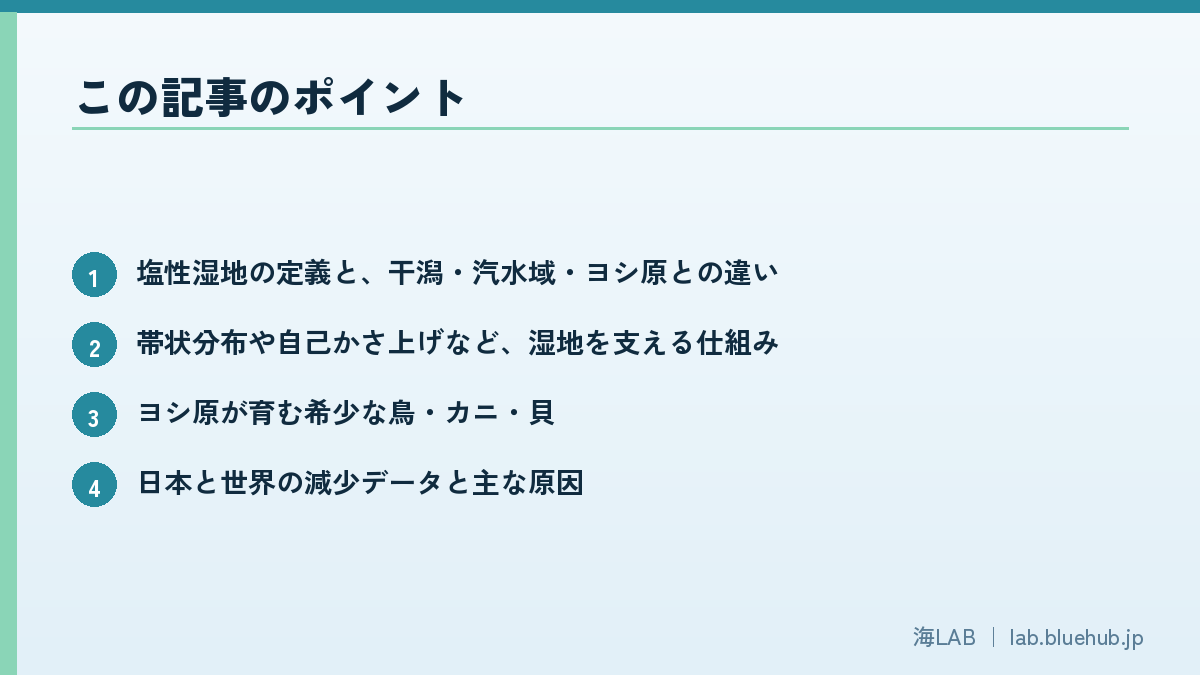
What you will learn
- What a salt marsh is, and how it differs from tidal flats, brackish areas and reed beds
- Mechanisms that sustain marshes, such as zonation and self-raising ground
- Rare birds, crabs and shellfish nurtured by reed beds
- Data on decline in Japan and worldwide, and the main causes
- Conservation and restoration efforts, and preparing for climate change
What Is a Salt Marsh? A Salty Grassland Between Sea and Land
Definition and formation
A salt marsh (enseishicchi in Japanese) is a wetland dominated by herbaceous plants that develops in the upper intertidal zone, influenced by seawater or brackish water. Because the ground is flooded at high tide and exposed to air at low tide, only plants that tolerate both salt and flooding can establish themselves. A typical scene is a flat landform built from mud and sand deposited at a river mouth, where salt-tolerant plants (halophytes) such as reed, akkeshi-sō, shichimensō, hamamatsuna and uragiku are distributed in bands.
If a tidal flat (the intertidal zone of bare mud or sand) is a "sea of mud" without plants, a salt marsh is its "vegetated continuation," just landward. The two are often treated as one continuous ecosystem, and in the Ministry of the Environment's "Important Wetlands of Japan 500," salt marshes are classified as one wetland type alongside tidal flats, seagrass/algal beds and mangrove forests.
Differences from tidal flats, brackish areas and reed beds
| Ecosystem | Main environment | Typical vegetation | Related articles on this site |
|---|---|---|---|
| Tidal flat | Mud or sand exposed by the tides | Almost no plants (microalgae) | Tidal flat conservation |
| Salt marshes | Grassland in the upper intertidal zone, flooded at high tide | Halophytes, reed | This article |
| Brackish area | Water where river freshwater mixes with seawater | Reed, aquatic plants, plankton | What are brackish waters? |
| Mangrove forest | Tropical and subtropical intertidal zone | Mangrove trees | The role of mangrove forests |
Reed beds spread across both freshwater and brackish areas, so not every reed bed is a salt marsh. Reed beds in river-mouth brackish waters that are influenced by salinity are treated as part of salt marshes. Whether salinity has an influence greatly affects which organisms live there.
Key points
- Salt marshes form where three conditions overlap: salinity, flooding and sediment accumulation
- Plant species change with height above the high-tide line (zonation)
- They are continuous with tidal flats, brackish areas and reed beds and must be protected as one
Plants and Landforms That Sustain Salt Marshes
Zonation: plants change within tens of centimeters of height
In a salt marsh, even a slight difference in ground height changes the frequency of flooding and soil salinity, so the plant species change. Species especially tolerant of salt and flooding grow on the low seaward side, while those less tolerant grow on the higher landward side, so plants line up like bands from sea to land. This arrangement is also the arrangement of habitats for insects, crabs and birds.
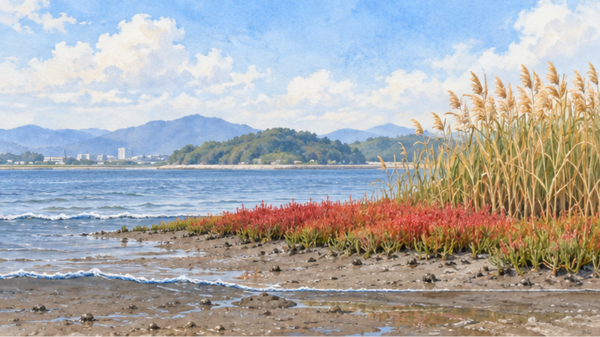
Representative salt-tolerant plants of Japan
- Shichimensō (Suaeda japonica): An annual that grows in dense stands on tidal flats such as Higashiyoka Coast in Saga City. It turns reddish purple in autumn and is called the "autumn leaves of the sea"; its distribution is said to be limited to northern Kyushu, the Korean Peninsula and parts of China.
- Hamamatsuna and uragiku: Halophytes that grow on muddy ground at river mouths and coasts. Both are known as representative salt marsh species.
- Reed: Forms dense stands where salinity is low and provides nesting sites and shelter for birds.
- Hamabō (Hibiscus hamabo): A deciduous shrub found at river mouths in western Japan. Fiddler crabs have been reported living in the muddy ground beneath its stands.
Shichimensō is described as a delicate plant that grows only where wind, waves and currents are weak. It is therefore very sensitive to environmental changes such as shore protection works and changes in sedimentation. Its condition also varies from year to year, so continued observation is essential.
Mud accumulation: "raising the ground"
Salt marsh plants slow tidal flow with their stems and roots and trap mud and sand carried by rivers and the sea. The deposited sediment and the dead roots and stems of plants pile up, and the ground gradually rises. Even if sea level rises, as long as accumulation keeps pace the marsh is not submerged and may be maintained while migrating inland. This property is the key to climate change adaptation, discussed later.
Why it matters
- The marsh's strength is its "self-raising" function, in which plants trap mud and raise the ground
- This function weakens when sediment supply from rivers stops
- See also Dams and coastal erosion for details
Life in the Reed Beds: Rare Birds, Crabs, Shellfish and Insects
Shelter and nesting sites for birds
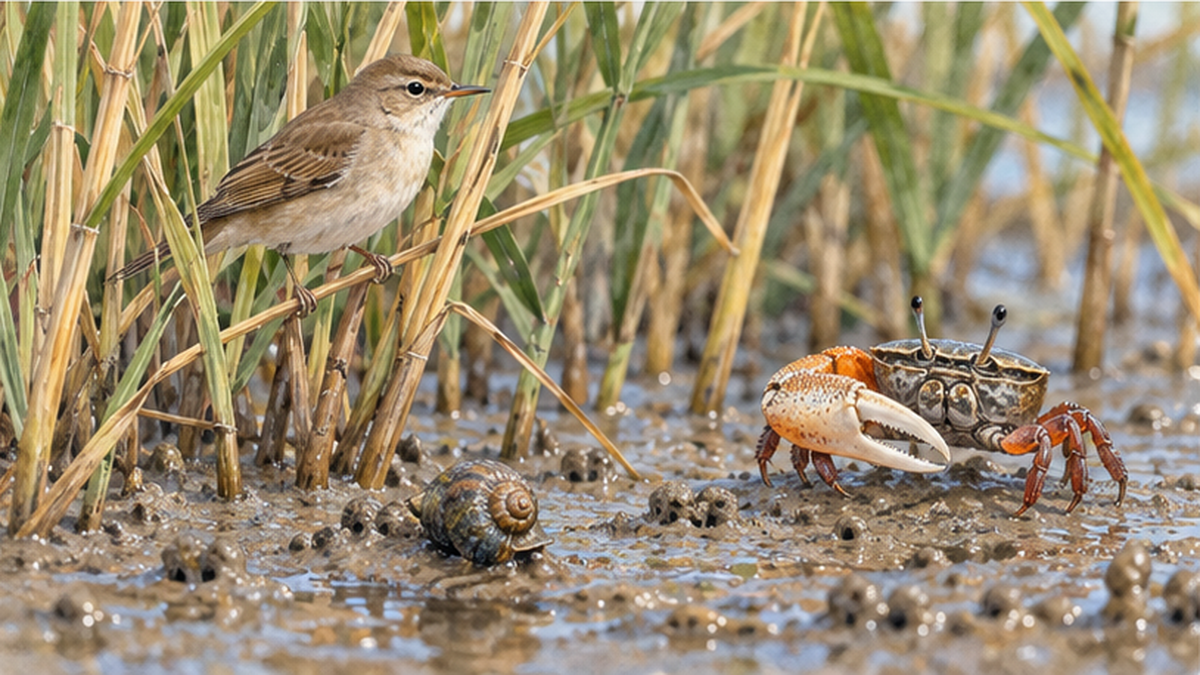
Reed beds are essential nesting and foraging sites for grassland and wetland birds such as the eastern marsh harrier (chūhi) and Marsh Grassbird (ōsekka). Materials related to the Ministry of the Environment note that conserving these birds requires maintaining good vegetation, and there are reports that the decline of reed and sedge communities coincided with increases in deer and wild boar. However, causality has not yet been fully established.
Local-government red data books also point out that the number of birds such as the Yellow Bittern has declined as reed beds have decreased. For their role as stopovers for migratory birds, see also Shorebirds and tidal flats and Migratory bird flyways.
Residents of the mud: fiddler crabs and shellfish
The "Otogo reed bed" at the mouth of the Yoshii River in Okayama Prefecture is one of the salt marshes selected as Important Wetlands by the Ministry of the Environment. The reasons given include that the reed bed is well preserved, that it is home to shellfish such as okamimigai and hirokuchi-kanoko, and that it is one of the few habitats of the fiddler crab in the prefecture.
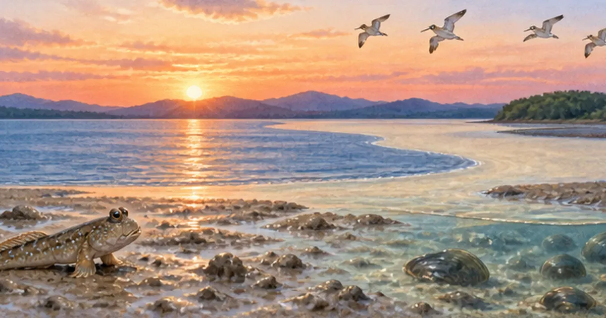
Fiddler crabs live in burrows dug into sandy mud near the high-tide line in river mouths. Their relative the white-fiddler crab (hakusen-shiomaneki) is listed as Vulnerable (VU) on the Ministry of the Environment Red List, and habitat decline is a concern in some regions. Their burrowing carries oxygen into the soil and improves conditions around plant roots, so they also act as the marsh's "plowers."
Role as a nursery for juvenile fish
Salt marshes flooded at high tide give small fish and shrimp places to feed while avoiding predators, and in some areas they function as nurseries for juvenile fish. This is similar to the way mangrove forests are called "cradles of the sea"; in Japan's temperate zone, reed beds and salt marshes play part of that role. For mangroves, see also Mangroves as the sea's cradle.
- Birds: nesting, foraging and migratory stopovers
- Benthic animals: fiddler crabs, shellfish (such as okamimigai)
- Fish and crustaceans: nurseries for juveniles
- Insects: habitat for wetland species
Benefits Salt Marshes Bring to Society (Ecosystem Services)
Purifying water
Nutrients (nitrogen and phosphorus) and suspended matter flowing in from rivers are taken up by plants and decomposed or fixed by microorganisms in the mud. Salt marshes act as a "natural filter" that gently maintains coastal water quality. For the purification function of tidal flats, see the article Tidal flat conservation for details.
Softening storm surges and waves
Dense vegetation reduces wave energy and curbs coastal erosion. It is known that when a marsh lies in front of a levee, the wave force on the levee is weakened. However, the effect varies greatly with marsh width, vegetation density and wave size, so it should not be assumed that "having one makes us safe."
Storing carbon: the blue carbon aspect
Materials from the Ministry of the Environment divide Japan's blue carbon ecosystems into four: seagrass beds, seaweed beds, tidal wetlands (salt marshes, tidal flats and so on) and mangrove forests. Tidal wetlands store carbon for a long time as plant-derived organic matter is buried in mud. On the other hand, some estimates of Japan's total uptake treat seaweed and seagrass beds as the main sink, with wetlands and tidal flats making up a relatively small share. In other words, salt marshes are expected to be "carbon stores," but because their area in Japan is limited, their value lies more in biodiversity and disaster prevention than in quantity.
For the mechanism in detail, see What is blue carbon? and Wetlands and carbon storage.
Caution: lost marshes can also become an "emission source"
- If a marsh is destroyed by drainage, development or erosion, the stored carbon may be released as carbon dioxide and other gases
- Conservation matters not only for "increasing uptake" but also for "preventing emissions"
How Much Has Been Lost? Data from Japan and the World
Japan: wetlands down about 60% since the Meiji–Taisho era
Ministry of Land, Infrastructure, Transport and Tourism materials state that Japan's wetland area has fallen by about 60% since the Meiji–Taisho era and tidal flats by about 38% compared with 1945. Wetlands are concentrated in Hokkaido, so they are even scarcer on the coasts of Honshu and farther south. Note that many of these percentages are based on surveys from around 1978–1994 and are not the latest national estimates.
| Item | Value | Source type |
|---|---|---|
| Decline in wetland area | About 60% down since the Meiji–Taisho era | MLIT materials |
| Decline in tidal flat area | About 38% down compared with 1945 | Same as above |
| Salt marshes among the Important Wetlands 500 | 10 sites (tidal flats 50, seaweed/seagrass beds 104) | Ministry of the Environment, "Important Wetlands of Japan 500" |
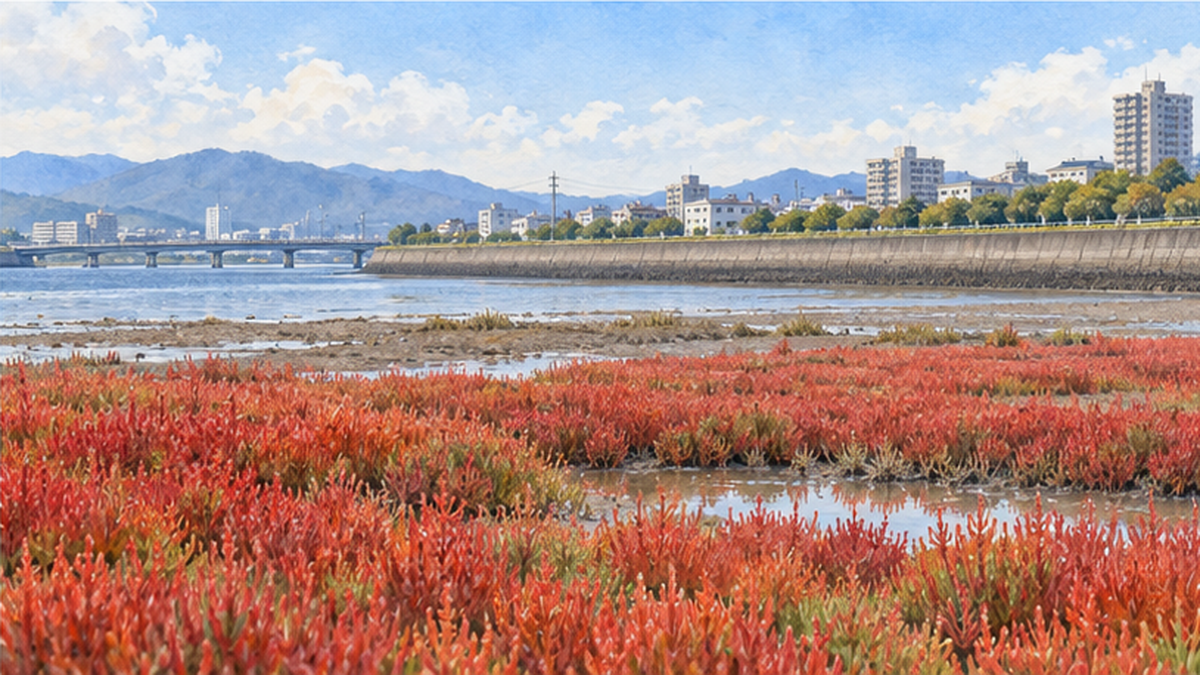
World: a net loss of 719 km² in 2000–2019
A study published in Nature in 2022 (Campbell et al.) used Landsat satellite imagery and estimated that the world lost a net of about 719 km² of salt marsh in 2000–2019, a rate of 0.28% per year. Emissions from this loss are estimated at 16.3 Tg CO₂-equivalent per year (90% confidence interval 0.4–33.2). About 64% of the loss was concentrated in the United States and Russia, mainly due to hurricanes and coastal erosion.
NASA described the result as a loss equivalent to two soccer fields every hour. It also explains that this estimate is smaller than earlier estimates based on ground surveys at a limited number of sites. In other words, estimates of "how much has been lost" vary with the method.
Main causes of decline
- Reclamation and land drainage: conversion to farmland, factory and port sites
- Seawall and levee construction: cuts off tidal flooding and sediment supply
- Reduced sediment supply: dams and erosion-control works stop mud from reaching the coast
- Poor reed-bed management and wildlife damage: cutting and burning have stopped; impacts of deer and wild boar
- Sea-level rise and storm surges: marshes lose room to retreat and are submerged, a "coastal squeeze"
The history of tidal flat reclamation is covered in detail in Why were tidal flats reclaimed?.
Conservation and Restoration: Examples from Across Japan
The Ramsar Convention and wetland protection
The Ramsar Convention is the framework for promoting wetland conservation internationally. Many wetlands in Japan are also registered, and they are protected together with local communities under the idea of wise use. See What are Ramsar wetlands? and Wise use under the Ramsar Convention for details. For Japan's largest marsh, see Kushiro Marsh.
Reed bed management: cutting protects the ecosystem
Reed beds are not protected simply by being left alone. When dead reeds pile up, the ground dries, other plants invade, and the reed bed may decline. At Lake Biwa, measures against reed-belt decline caused by lack of sunlight include cutting woody plants and controlling invasive alien species. Cutting and burning reeds are forms of knowledge for maintaining reed beds through continued human involvement.
Reconciling river works with wetlands
At a river mouth in Fukuoka Prefecture, how to reconcile channel excavation for flood control with salt marsh conservation is a research issue. Designs under consideration include keeping the marsh height when widening the river cross-section, or creating terrain that makes it easy for a new marsh to regenerate after excavation.
Restoration methods
- Restoring marsh height by placing sediment in front of levees (creating tidal flats and marshes)
- Setting levees back to make room for seawater (managed retreat)
- Releasing dam sediment to the sea to help "raise" marshes
- Transplanting vegetation and protecting against grazing by deer and invasive species
Let's Investigate: Tips for Observing Salt Marshes
Walk with the high-tide line in mind
When observing a salt marsh, first be aware of the position of the high-tide line. Walking from sea to land, the scenery changes in the order of mudflat, low red-tinged halophytes and tall reed beds. This is the zonation described above, evidence that slight differences in ground height decide which organisms live where. Check high- and low-tide times on a tide table, and for safety avoid going deep onto the mud when the tide is coming in.
Look for crab burrows and tracks
On mudflats you find burrows dug by fiddler crabs and others here and there. The size and number of burrows are clues to whether the place is healthy habitat. However, in habitats of rare species the basic manners are not to trample burrows and not to take creatures home. Photographing and passing information to local nature-observation groups or museums helps surveys.
Seasonal changes
- Spring: new reed shoots grow and insects and small birds increase
- Summer: reed beds are at their thickest and birds breed
- Autumn: halophytes such as shichimensō turn red and migratory birds arrive
- Winter: in some areas raptors such as the marsh harrier appear over dead reed beds
Visiting the same place repeatedly across seasons lets you feel that a salt marsh supports diverse life all year. Keeping photos and records is genuine citizen science.
Salt Marshes in a Changing Climate: Sea-Level Rise and the "Nowhere to Retreat" Problem
Can marshes keep up with sea-level rise?
Because salt marshes raise their ground by accumulation, they may keep up with sea-level rise if sediment supply is sufficient. But if the rate of rise exceeds the rate of accumulation, they are submerged. Moreover, if the landward side is fixed by levees and roads, the marsh cannot migrate inland. This is the "coastal squeeze."
Marshes as an adaptation measure
As preparation for sea-level rise, attention is turning from relying on levees alone to weakening wave force by leaving a marsh in front of them. Sea-level rise and Japan's coasts and Climate adaptation in coastal cities as well.
What is still unknown
- The latest national area and carbon storage of Japan's salt marshes have not been sufficiently compiled
- The causal relationship between increasing deer and wild boar and reed-bed decline is unresolved
- Which marshes can survive the combination of sea-level rise and sediment supply is still being assessed
While acknowledging this uncertainty, it is important to continue scientific monitoring.
What We Can Do: Living with Nearby Salt Marshes
Visit one
There are places where you can enjoy seasonal scenery, such as the shichimensō colonies at Higashiyoka Coast in Saga in autumn. Joining observation events, quietly watching wild birds and taking litter home are also visitors' ways of protecting wetlands. For the basics of observation, Bird-watching for beginners is helpful.
Things you can do in daily life
- Join conservation and cleanup activities for local wetlands and tidal flats
- Choose products that make use of local reed beds, such as reed goods
- Pay attention to litter and wastewater in rivers to protect river-mouth water quality
- Share information on nearby wetlands with local nature surveys and citizen science
Summary
Although only a very small area remains in Japan, salt marshes are multifunctional ecosystems that support birds, crabs, shellfish, insects and fish, purify water, soften waves and store carbon. The main causes of decline are reclamation, cut-off sediment supply and sea-level rise. Please remember that these places, often thought of as "unremarkable grassland," are the front line supporting the health of the sea at our feet.
Summary
- A salt marsh is a salty grassland between tidal flat and reed bed
- Japan's wetlands are down about 60% since the Meiji–Taisho era and tidal flats about 38% compared with 1945
- Worldwide, about 719 km² were also lost in net terms in 2000–2019
- Sediment supply, reed-bed management and keeping room to retreat inland are key to conservation
References and Sources
- Campbell et al. (2022) Global hotspots of salt marsh change and carbon emissions, Nature – Changes and emissions of salt marshes worldwide
- NASA Landsat: NASA Scientists Map Global Salt Marsh Losses and Their Carbon Impact – Explanation of the above study
- GSI: Wetland area – Wetland area data for Japan
- MLIT materials (decline of wetland and tidal flat area) – Wetlands down about 60%, tidal flats about 38%
- Ministry of the Environment: blue carbon materials (January 2026) – Four categories of blue carbon ecosystems
- Ministry of the Environment: Important Wetlands of Japan 500 – Selection of important wetlands
- Ministry of the Environment: Red List – Selection of threatened species
- Ramsar Convention Secretariat – International convention for wetland conservation
* Listed in order of reliability: government and academic institutions > peer-reviewed papers > specialized organizations > reliable media